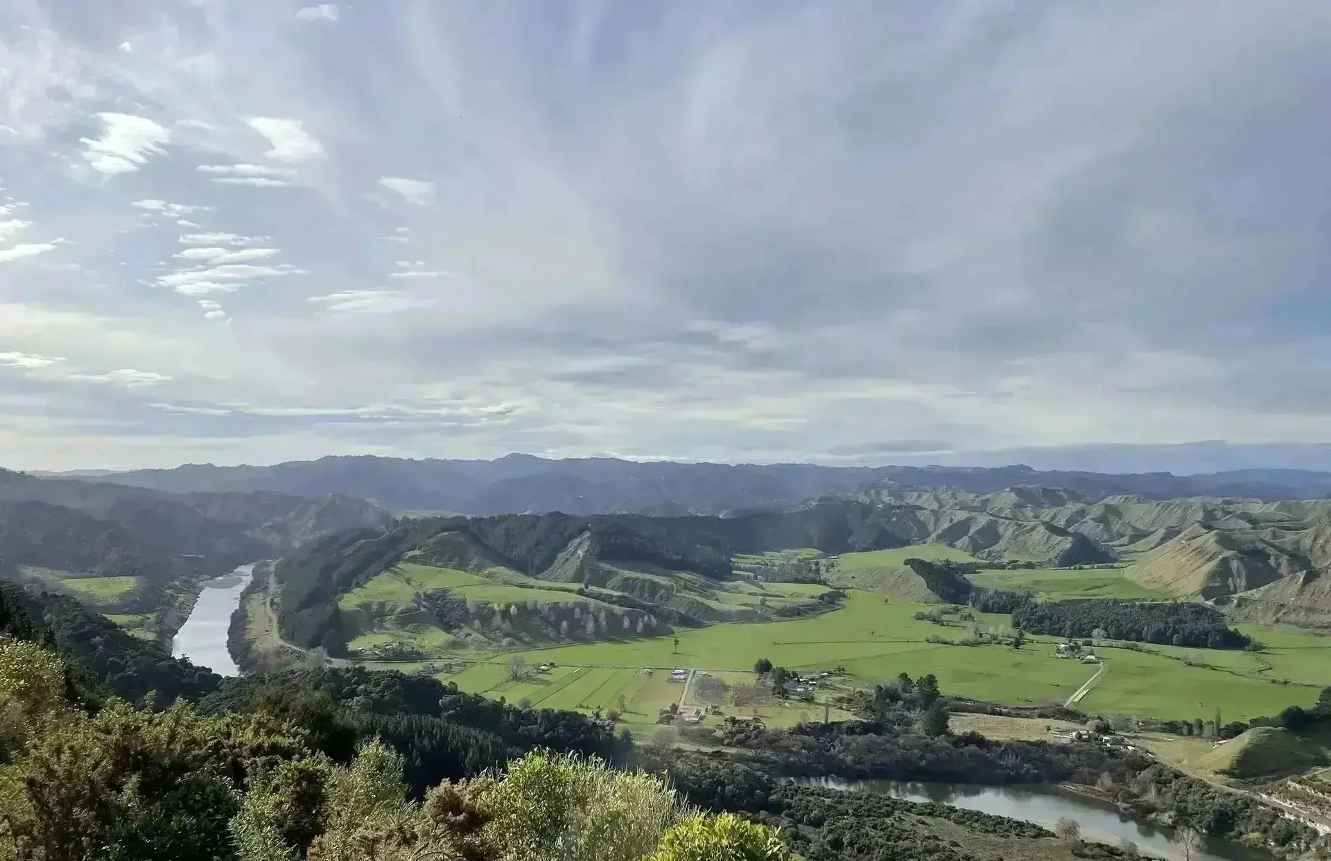



LUC & Soil Mapping for a Hawke's Bay Property
Maplands delivered a detailed land use capability and soil survey to support property sale due diligence on a 620-hectare Hawke's Bay mixed farming block.
Project Overview
A Hawke’s Bay mixed farming block was under contract for sale, and the buyer needed a detailed land use capability and soil survey for due diligence and financing.
Maplands completed a full field survey and LUC classification across the 620-hectare property in eight weeks, delivering GIS maps and a professional report ahead of settlement.
Client Objectives
The engagement was guided by clear, measurable objectives that defined success for both business leadership and IT operations.
LUC Classification
Classify all land to the appropriate LUC unit for valuation and planning.
Soil Survey
Identify soil types and limitations across the property.
Due Diligence Report
Produce a professional report suitable for property sale and financing.
GIS Mapping
Deliver georeferenced maps in GIS-compatible formats.
Project Details
Industry
Mixed Farming / Property
Company Size
620 ha
Duration
8 Weeks
Services Provided
Complex Legacy Systems Hindering Growth
Diverse Land Types
The block spanned flat terraces, rolling hills, and steep bush margins.
Tight Timeline
Report required within compressed timeframe to meet sale settlement.
Limited Existing Data
Regional soil mapping was too coarse for property-scale decisions.
Terrain Access
Steep and scrub-covered areas required extended field time.

Property Surveyed
LUC Classes Mapped
Survey to Report
Coverage Achieved
Field Survey & LUC Classification
A systematic field-based approach to soil and land capability mapping
Desktop Review
Reviewed existing soil data, imagery, and topographic information to design the survey.
Field Survey
Conducted soil pits and transects across all land types to characterise soils and LUC limitations.
GIS Mapping
Digitised all LUC boundaries and soil polygons linked to field survey data.
Report & Delivery
Produced the LUC report with maps and soil descriptions in GIS and PDF formats.
Technologies Implemented
LUC Classification
Soil Survey
GIS Mapping
Field Survey
Report Writing
Confident Property Decisions Backed by Accurate Data
The LUC report gave all parties reliable data to support valuation and planning
Financial Impact
Accurate property valuation
Informed financing decisions
Delivered for settlement
Survey Outcomes
Surveyed
LUC classes mapped
Survey to delivery
Planning Impact
Land use potential understood
Data for ongoing planning
Due diligence completed
The LUC report gave us and our bank exactly what we needed. Maplands turned it around quickly and the maps were great quality.
Property Buyer
Hawke's Bay Mixed Farm