

Hero background

Insights & Updates

Practical notes on farm mapping, soils and compliance — no fluff.

Why Your Fence Lines Don't Quite Match the Aerial
Mapping
5 min read

Why Your Fence Lines Don't Quite Match the Aerial

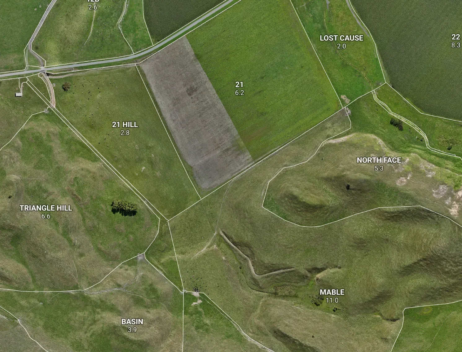
You traced your paddocks over one aerial, dropped them on another, and the fences sit a metre or two off. It's almost never your drawing — it's the photo underneath. Here's what's really going on with farm imagery, and how to make your lines land where they should.

  • #Mapping
  • #Aerial
  • #QGIS
  • #Accuracy
Read Article
Seeing the Ground, Not the Grass: Why We Fly LiDAR
Drone Mapping
4 min read

Seeing the Ground, Not the Grass: Why We Fly LiDAR

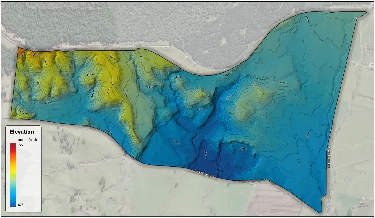
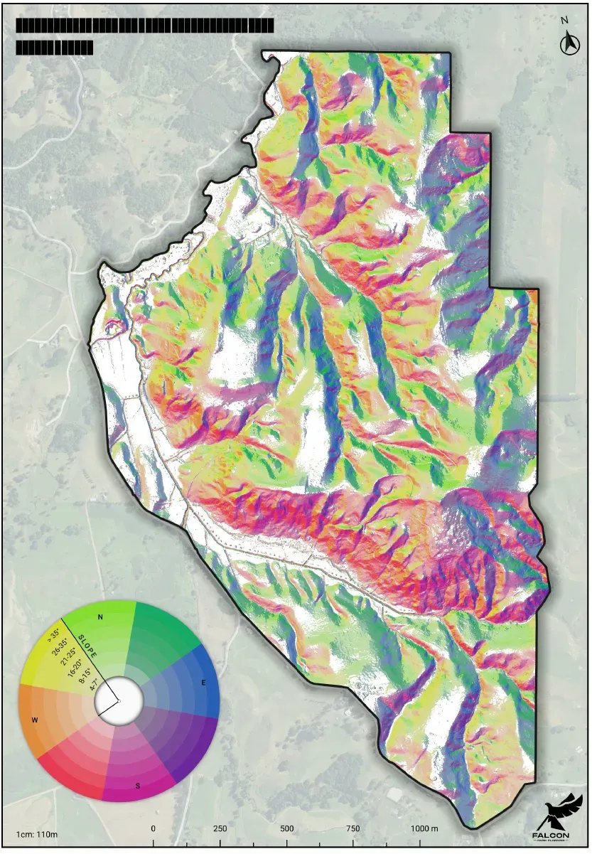
A drone photo shows the grass. LiDAR measures the ground underneath it. On hill country that's the difference between a farm map you can plan from and one that quietly gets your slope, your water and your LUC class wrong — here's why we fly both.

  • #LiDAR
  • #DroneMapping
  • #Terrain
  • #LandUseCapability
Read Article
Chase One Number, Move the Problem
Farm Planning
5 min read

Chase One Number, Move the Problem

When a rule fixes on a single environmental number, the pressure doesn't vanish — it moves, often somewhere that number can't see. Two NZ examples, and why reading the land as a system beats chasing one metric.

  • #Nutrients
  • #Policy
  • #FarmPlanning
  • #NewZealand
Read Article
Know Your Land, Lift Your Margin
Mapping
4 min read

Know Your Land, Lift Your Margin

Say 'LUC' and most farmers think environmental paperwork. They're missing the point: Land Use Capability was built to answer a profit question — what will this land actually repay?

  • #LUC
  • #FarmPlanning
  • #Profitability
  • #NewZealand
Read Article