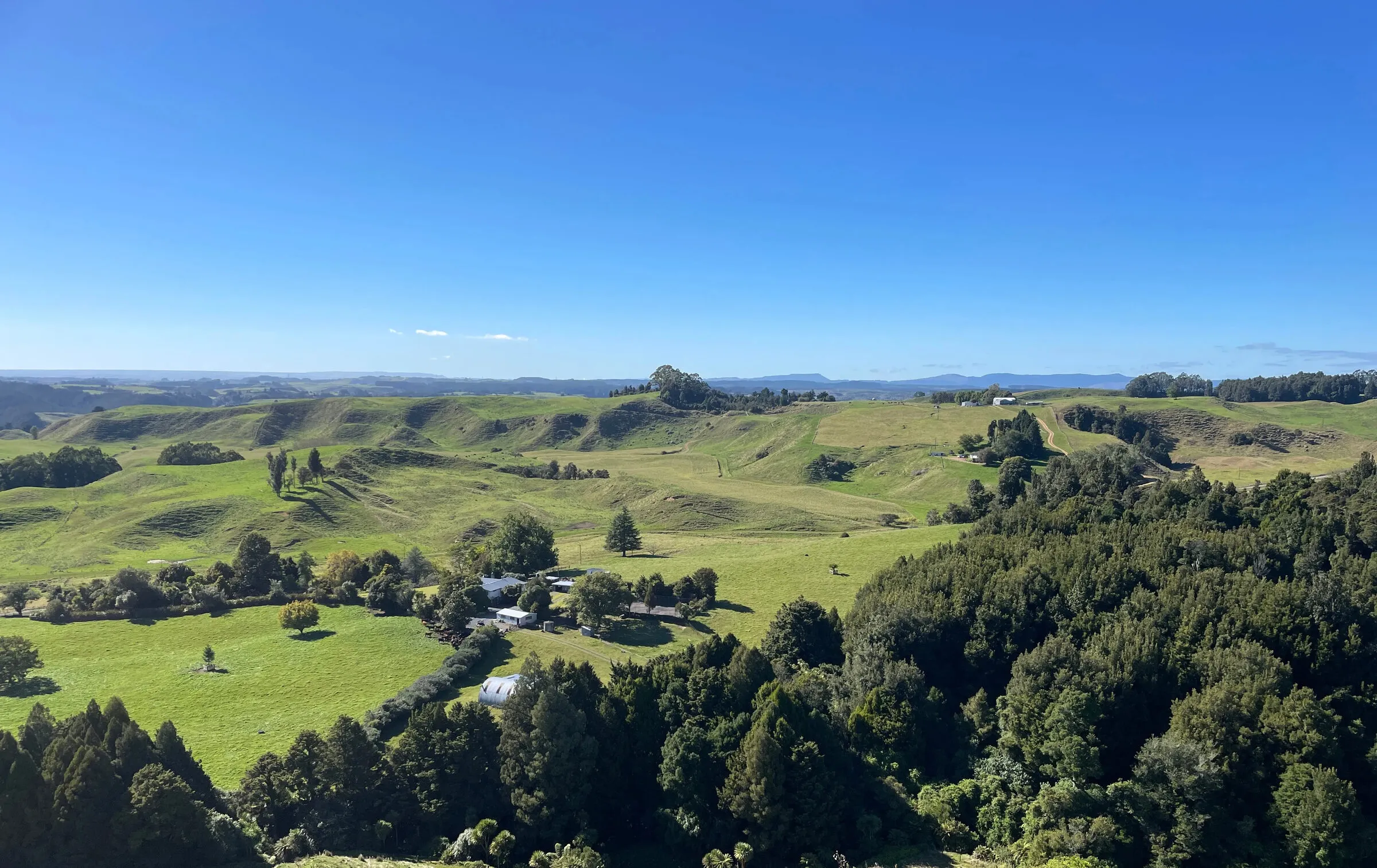


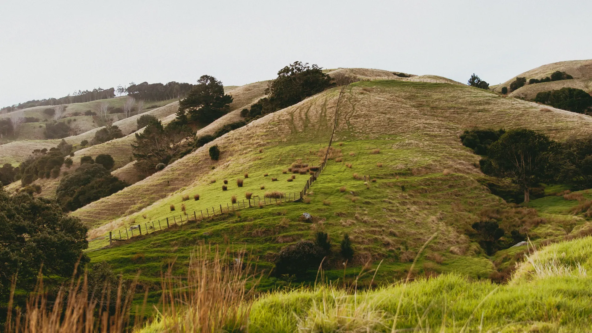
Freshwater Farm Plans: What's Changing
Paused, raised, narrowed. Where Freshwater Farm Plans actually stand in 2026 — and why the mapping is still worth doing now. Verify before you bank a date.
- #Freshwater
- #FWFP
- #Compliance
- #NewZealand
Practical articles on farm planning, freshwater regulations, drone mapping, soil science, and sustainable land use in New Zealand.
Paused, raised, narrowed. Where Freshwater Farm Plans actually stand in 2026 — and why the mapping is still worth doing now. Verify before you bank a date.
A soil test is cheap. A trend is priceless — and a single number isn't a trend. How to sample so this year actually compares to last.
National data is free — and forty metres out where it matters. Why mapping your farm at the scale your decisions happen pays for itself, and how to tell which layers are genuinely farm-scale.
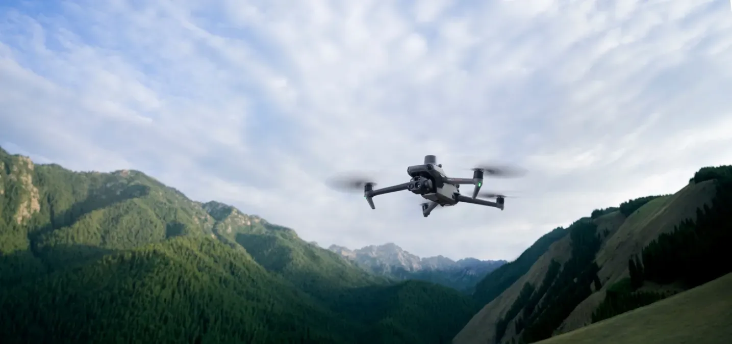
Behind every Maplands orthomosaic and elevation model is one compact aircraft — the DJI Mavic 3 Enterprise with RTK. Here's what it does, and why it makes honest, centimetre-accurate farm maps.
Good soil information drives every decision from fertiliser to fencing. The trick is knowing which source to trust for what — and not mistaking a national map for paddock truth.