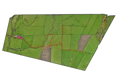



A 1:50,000 soil map can be forty metres out on the ground. Print it onto a farm plan, treat the line as fact, and you’ll fertilise the wrong block, fence the wrong line and budget the wrong area. Farm-scale mapping fixes that — but only if you’re honest about which layers are genuinely farm-scale and which just look it.
Two kinds of data go on a farm map
Be clear about which is which.
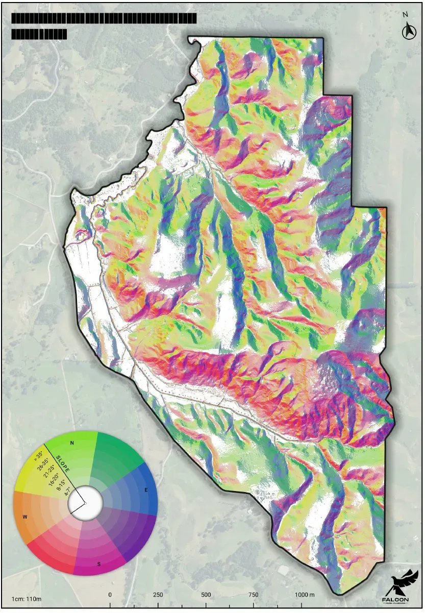
- Genuinely farm-scale. Anything off 1 m LiDAR — slope, aspect, elevation, and the flow paths and wet hollows that fall out of the elevation model. Measured at one metre. You can stand behind it.
- Borrowed and coarse. Soil, rock and land use capability come from national maps at roughly 1:50,000. A decent first guess. Not survey pegs.
You can’t “refine” a coarse polygon into a fine one. Redrawing a 1:50,000 soil line at 1:5,000 just gives you a confident-looking line that’s no more accurate than the one you started with. So a good map labels its sources: terrain you trust, soil and capability you treat as a draft to walk over with a spade.
Match the scale to what you manage
The map scale should match the smallest area you make decisions about:
- 1:5,000 — intensive use; blocks and paddocks down to ~0.1 ha.
- 1:10,000–1:15,000 — pastoral hill country; smallest unit around 1 ha.
For reference, 1:10,000 means 1 cm on the map is 100 m on the ground.
Where the map pays
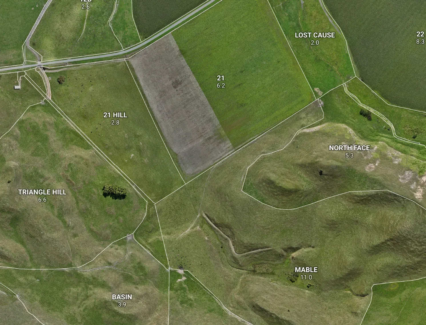
- Areas you can trust. “About 12 ha” versus 11.3 ha changes your fertiliser order, your seed and your grazing budget. Round every paddock and the errors stack into real dollars.
- Infrastructure in the right place. Measure a fence, race or trough line once on screen instead of pacing it twice on the hill.
- Setbacks that hold up. A 3 m stock-exclusion setback means nothing against a guessed waterway. Get the waterway right and the buffer follows.
- Slope you can act on. LiDAR slope shows which faces are too steep to crop and where erosion really sits — not where a coarse polygon implies it might.
The bottom line
A map that knows what it doesn’t know beats one that fakes precision. Terrain you trust; soil you verify. Get that split right and the map pays for itself the first season you use it.