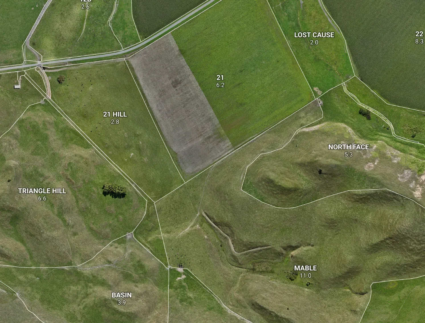



A farm plan is only as good as the map under it. The strongest footing you can build one on is a proper Land Use Capability (LUC) survey, brought to genuine farm scale. Here’s why — and why it sits well beyond what NZFAP+ and the rules actually ask for.
LUC ranks what your land can do, not just what’s on it
Most farm maps are inventories: where the troughs, fences and waterways are. LUC is a different thing. It ranks what each piece of land can sustainably do, by weighing five factors — rock, soil, slope, erosion and vegetation — into a capability class (1 to 8) and its main limitation: e for erosion, w for wetness, s for soil, c for climate. It’s the national framework, the same language a council, an auditor or a consultant already recognises. That’s a map you plan from, not just one you comply against.
It names the limitation, and the response
LUC doesn’t just say “this block is steep.” It says this land is 6e — erosion-limited — and groups it with the country that needs the same kind of management. That’s exactly what a farm plan, and an NZFAP+ Land & Environment Plan, is meant to justify: matching land use to what the land can actually carry, long-term.
NZFAP+ only recommends it. We start there.
Here’s the part worth knowing. Base NZFAP asks for an approximate infrastructure map — a hazard-and-buildings sketch. NZFAP+ goes further and requires a Natural Resources map: soil, slope, critical source areas, erosion-prone land and the rest. But LUC itself is only recommended under the standard, not required — so most farms leave it out. We make it the foundation. The result clears the bar with room to spare, instead of just meeting it.
Farm scale is the whole point
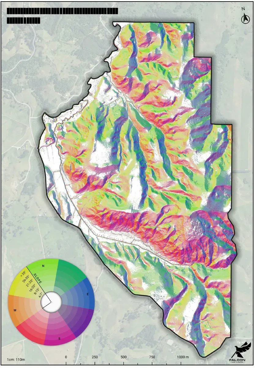
A LUC map is only as good as its scale. The national LUC layer is mapped at 1:50,000 — fine for a district, but the LUC Survey Handbook is blunt that blowing it up to farm scale gives “unreliable and misleading results.” Too many farms still run real decisions off exactly that: a regional map stretched to fit. We don’t. We bring the capability base to true farm scale — confirmed on the ground, on slope and terrain measured from 1 m LiDAR, not interpolated from coarse data.
Honest about what’s precise
Straight up: the soil and capability linework starts from national data and is a draft we verify in the field — the Handbook itself says rock types should always be checked on the ground at farm level. The slope, aspect, elevation and critical source areas come off LiDAR and are genuinely precise. A good map says which is which, and we do.
The bottom line
NZFAP+ asks for a Natural Resources map and only recommends LUC. We make a field-verified, farm-scale LUC base the starting point for every plan — the most rigorous footing a farm plan can have, and comfortably beyond the minimum. Better decisions come off a better base.