


Say “LUC” to most farmers and they think environmental paperwork — another box the council makes you tick. Here’s the bit they’re missing: Land Use Capability was built to answer a profit question, not an environmental one. It tells you what each block can sustainably produce — and that’s information you can take to the bank.
LUC was built for production, not compliance
The framework defines land by its “capacity for long-term sustained production” — that’s the actual definition, straight from the LUC Survey Handbook. It ranks land 1 to 8 on how versatile and productive it is: arable and the widest options on your best country, pastoral or forestry on the rest, protection where there’s nothing to gain. Regulators adopted it later — at its core, it’s a productivity map.
Right activity, right land
The class is a suitability verdict. Cropping or intensifying a block whose limitation it’ll never shake just burns inputs; meanwhile under-using your versatile flats leaves easy margin on the table. Knowing the class tells you where to push hard and where to back off.
Spend where the land pays you back
The subclass names the dominant limitation — e erosion, w wetness, s soil, c climate. A wet block might repay a drain handsomely; a block held back by shallow soil or low fertility you can’t economically fix will just swallow the money. Reading the limitation tells you which development dollars come back and which don’t.
Stocking and feed that stack up
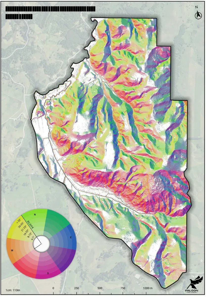
Capability plus slope measured off LiDAR gives you a defensible carrying capacity per block — not a flattering whole-farm average that quietly overgrazes the steep country. Better feed budgets, fewer nasty surprises.
Manage by capability, not by fence line
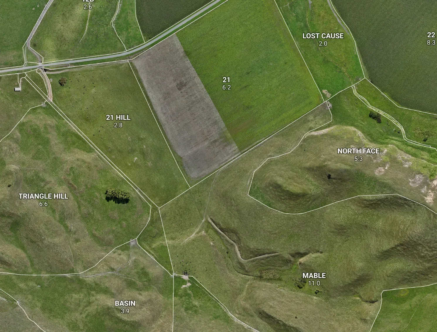
Land of the same capability wants the same management and returns similar yields. Group your blocks that way and your fertiliser, regrassing and stock policy all line up with what the land can actually do — instead of with where someone happened to run a fence.
Buy, lease, retire — with eyes open
Capability is a read on real productive worth. It sanity-checks the price on a block before you sign, and it tells you honestly which steep or shallow country is better retired or planted than chased with money you won’t get back.
The honest bit
A LUC map points you at the right questions — it doesn’t promise a dollar figure. The slope and terrain we measure off LiDAR are precise; the soil and capability lines start from national data and are a field-verified draft. We call the precise parts precise and the draft a draft — because a map that flatters your steep country costs you money, and an honest one makes you some.
The bottom line
Your LUC map isn’t a box the regulator makes you tick. It’s the oldest question in farming, answered properly: what will this land actually repay? Know that, and every input, stock and capital decision gets sharper.