


Drone Mapping
High-resolution drone imagery and photogrammetry terrain modelling for farm planning, waterway mapping, compliance — or just a damn fine map on your wall.
High-Quality Drone Mapping for New Zealand Farms
We fly your farm and turn the imagery into real maps — orthomosaics, elevation models, contours and waterway maps for farm plans, compliance and analysis. Or just a damn fine map on your wall. High speed, high accuracy, high resolution, and most farms flown in a day.
Because the terrain models come off our own flight — not coarse national data interpolated down — the slope and contour detail is genuinely at farm scale. And while we’re up there, we can grab the aerial photography and video for your wall or your website too.
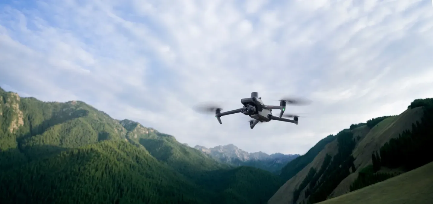
Curious about the kit? We’ve written up the drone behind our maps — the DJI Mavic 3 Enterprise RTK, and the DJI Matrice 400 we’ve got our eye on for LiDAR and thermal work.
- High speed, high accuracy, high resolution
- Most farms flown in a day
- Photogrammetry terrain models from the drone, not coarse national data
Common Challenges
Farmers face real pressure meeting council and assurance requirements while keeping the farm running. We help you navigate freshwater, NZFAP+ and land-management challenges with practical mapping and planning.
Outdated Imagery
The aerials in regional maps can be years old and shot at small scale — fences move, tracks change, and you end up planning off a picture that's no longer true.
Hill Country You Can't See Properly
Slope, gully and contour detail matters most on steep country — and that's exactly where coarse national elevation data falls down. You need a model flown at your farm.
Mapping Water for Compliance
Freshwater plans and farm assurance need your rivers, drains and wetlands mapped accurately. Guessing off old imagery doesn't cut it with an auditor.
What You Get
Products Built FromThis Work
Write-on Whiteboard Paddock Map
Your farm as a wipe-clean whiteboard — plan grazing, spray and mating straight on the map, wipe it off and go again next round.
Maplands Pads
Tear-off paper pads where every sheet is your farm's paddock map — scribble the plan, hand it over, tear off a fresh one next time.
Health & Safety Farm Map Board
Your farm's hazards, no-go zones and assembly points on one printed board — the map you point contractors and visitors at before they head out.
3D-Printed Farm Map (coming soon)
Your farm's actual hills and gullies, 3D-printed solid from real LiDAR terrain data — a farm you can hold, coming soon.
Our Capabilities
Everything you need for farm-scale mapping, certified farm plans, and regulatory compliance across New Zealand.
Aerial Imagery
ORTHOMOSAIC MAPPING
We fly your whole farm and stitch the photos into one sharp, georeferenced orthomosaic — current, accurate, and far higher resolution than anything off a regional map.
- Centimetre-resolution orthomosaic of the whole farm
- Georeferenced so it lines up with your boundaries and layers
- Current imagery — flown this season, not years ago
Terrain Modelling
PHOTOGRAMMETRY
From the same flight we build a 3D terrain model and elevation surface using photogrammetry — real slope and contour detail derived at your farm, not interpolated from coarse national data.
- Digital Elevation Model (DEM) and Digital Surface Model (DSM)
- Contour generation at usable intervals
- Cut/fill and volume estimates for tracks, dams and earthworks
Waterway Mapping
RIVER & WETLAND MAPPING
We map your rivers, drains and wetlands off current high-resolution imagery — the spatial detail your Freshwater Farm Plan and farm assurance audit actually need.
- River, stream and drain centrelines
- Wetland delineation
- Riparian and setback mapping for compliance
Our Proven Approach
A structured, field-verified process that delivers accurate farm-scale maps and audit-ready plans with minimal disruption to your farming operation.
Scope & Planning
We talk through what you need the map for — planning, compliance or the wall — then plan the flight to capture it in one go.
Flight Day
We fly the farm on site, most in a single day, with no disruption to stock or work.
Processing
We run the imagery through photogrammetry software to build the orthomosaic, elevation models and contours.
Delivery
You get the finished maps and data in the format you want — ready for your farm plan, your auditor, or a print on the wall.
Ready to See Your Farm From the Air?
Current, high-resolution drone imagery and photogrammetry terrain models. Flown at your farm, fast and accurate, anywhere in New Zealand.
Technology & Capability
We fly professional-grade drone platforms and process the imagery with proper photogrammetry software, so the maps stand up to use — and to an audit.
- Professional survey-grade drone equipment
- Industry-standard photogrammetry processing