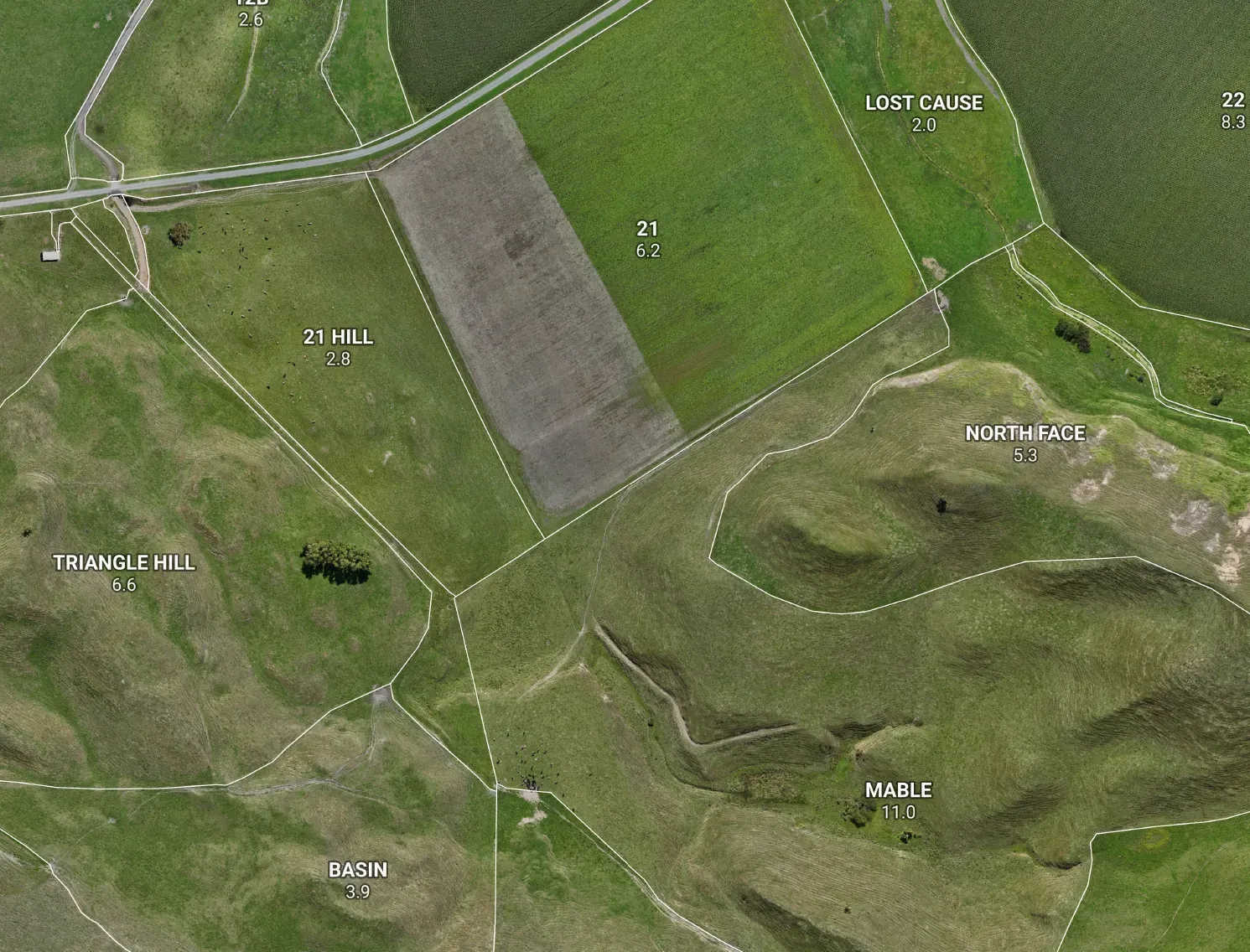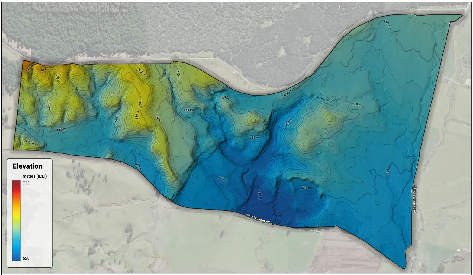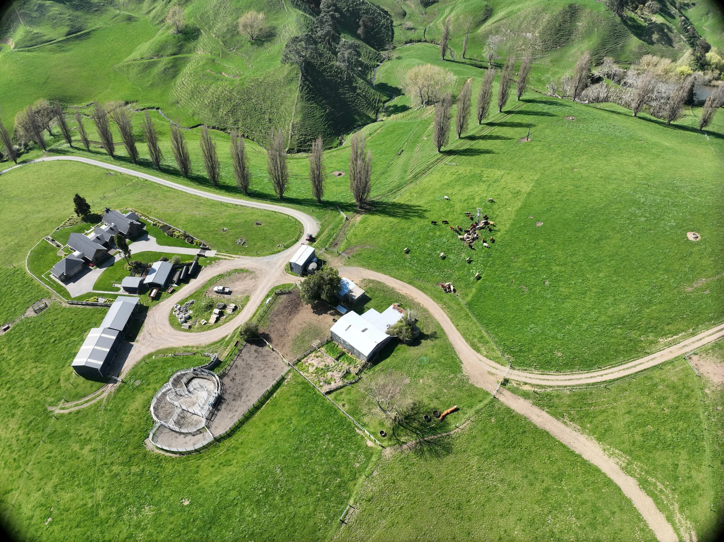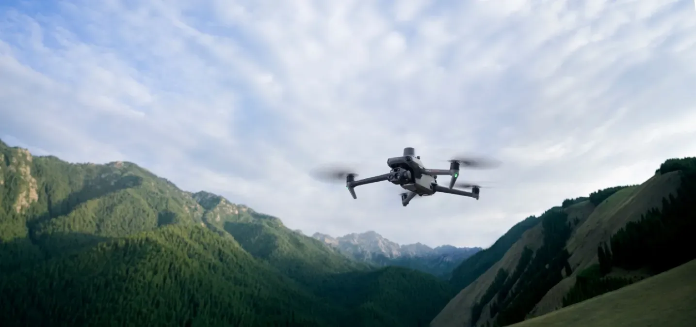



Behind every Maplands orthomosaic and elevation model is one compact aircraft: the DJI Mavic 3 Enterprise with the RTK module. It’s the workhorse we fly for farm photogrammetry — a quietly brilliant bit of kit that turns a couple of flights into a map you can actually plan from. Here’s what it does, and why it matters for your farm.
What RTK buys you
RTK is the part that earns its keep. It pins down exactly where each photo was taken — to about a centimetre — so we can build survey-usable orthomosaics and elevation models without laying ground control points all over your farm. That saves a day of pegging targets across the hills, and it keeps the map honest. One fair note: this is farm-planning accuracy you can stand behind, not a replacement for a licensed surveyor’s boundary pegs — but for mapping how the place actually sits, it’s the real deal.
The sensor that keeps it sharp
The camera is a 4/3, 20-megapixel sensor with a mechanical shutter — and that shutter is the unsung hero. It freezes every frame with no motion blur, so the drone can shoot crisp images on the move and the finished orthomosaic comes out clean and crisp. There’s also a 56× zoom for checking troughs, drains, races and fence lines up close, without flying right over them.
What comes off a flight
- A centimetre orthomosaic — true paddock areas, and infrastructure sitting exactly where it really is.
- A digital surface model — the shape of the land, for drainage, contours and earthworks.
- About 45 minutes in the air per battery, comfortably covering a good chunk of a farm per flight, and steady in winds up to around 40 km/h.
Where it shines — and where we step up
For open ground, it’s hard to beat. The one thing worth knowing: photogrammetry maps the top surface it can see — so under thick pasture, scrub or canopy it captures the cover, not the bare earth beneath. That’s exactly where LiDAR earns its place, and it’s the main reason the DJI Matrice 400 is on our radar.
The bottom line
RTK plus a 4/3 mechanical shutter gives us honest, centimetre-accurate farm maps without a day spent laying ground control. The drone is the easy part — knowing what to do with the data is where the value is.