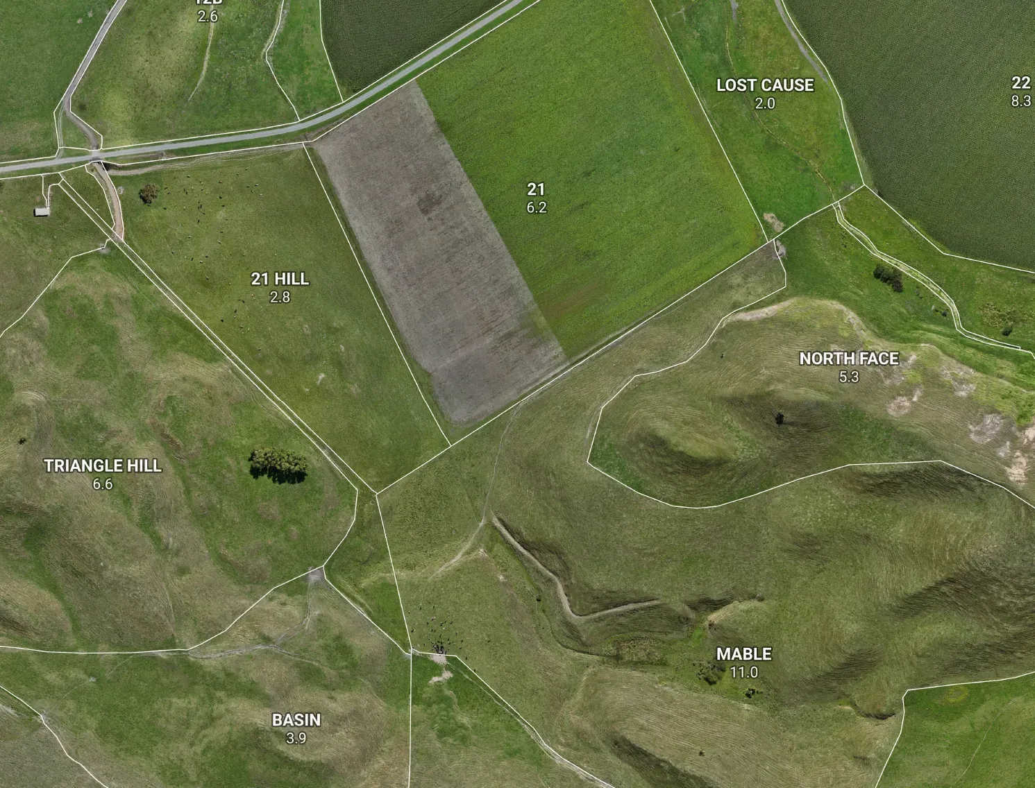



Getting a fence line in the right place used to mean a surveyor, a day rate, and a wait for a gap in their calendar. For a legal boundary, that’s still the right call. But for the fences, lanes and setbacks you put in every other week? There’s a faster, cheaper way that hits the accuracy farm fencing actually needs — and we set the whole thing up for you.
The idea, in plain English
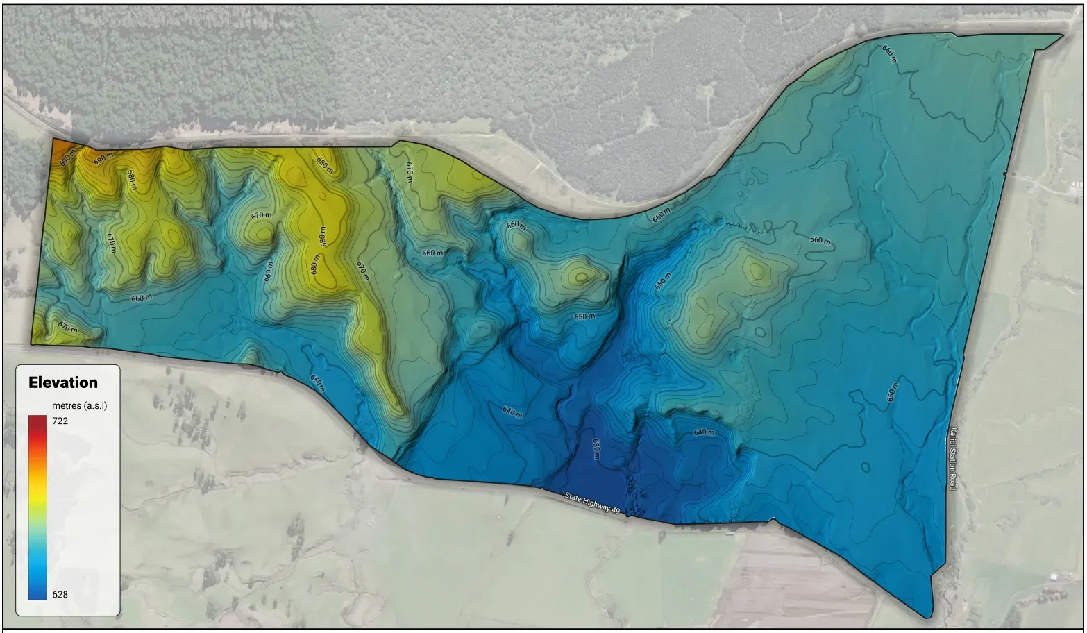
We plan your fence line with you on a map — every post, lane edge and setback, exactly where you want it. Then we fly a drone over it. Here’s the clever part: the drone locks onto LINZ’s national GPS network, which pulls its position from the usual three-metre GPS wander down to a couple of centimetres. It knows precisely where it is. So as it sits over each post position, we mark that spot on the ground — a flag, a peg or a dab of spray — ready for your fencer to follow.
No base station to cart around the paddock. No survey crew booked weeks out. Just a plan, a drone, and a marked-out line you can build straight off.
What it’s good for
- Stock fences and subdivision — posts and strainers dropped on the line, not paced out by eye.
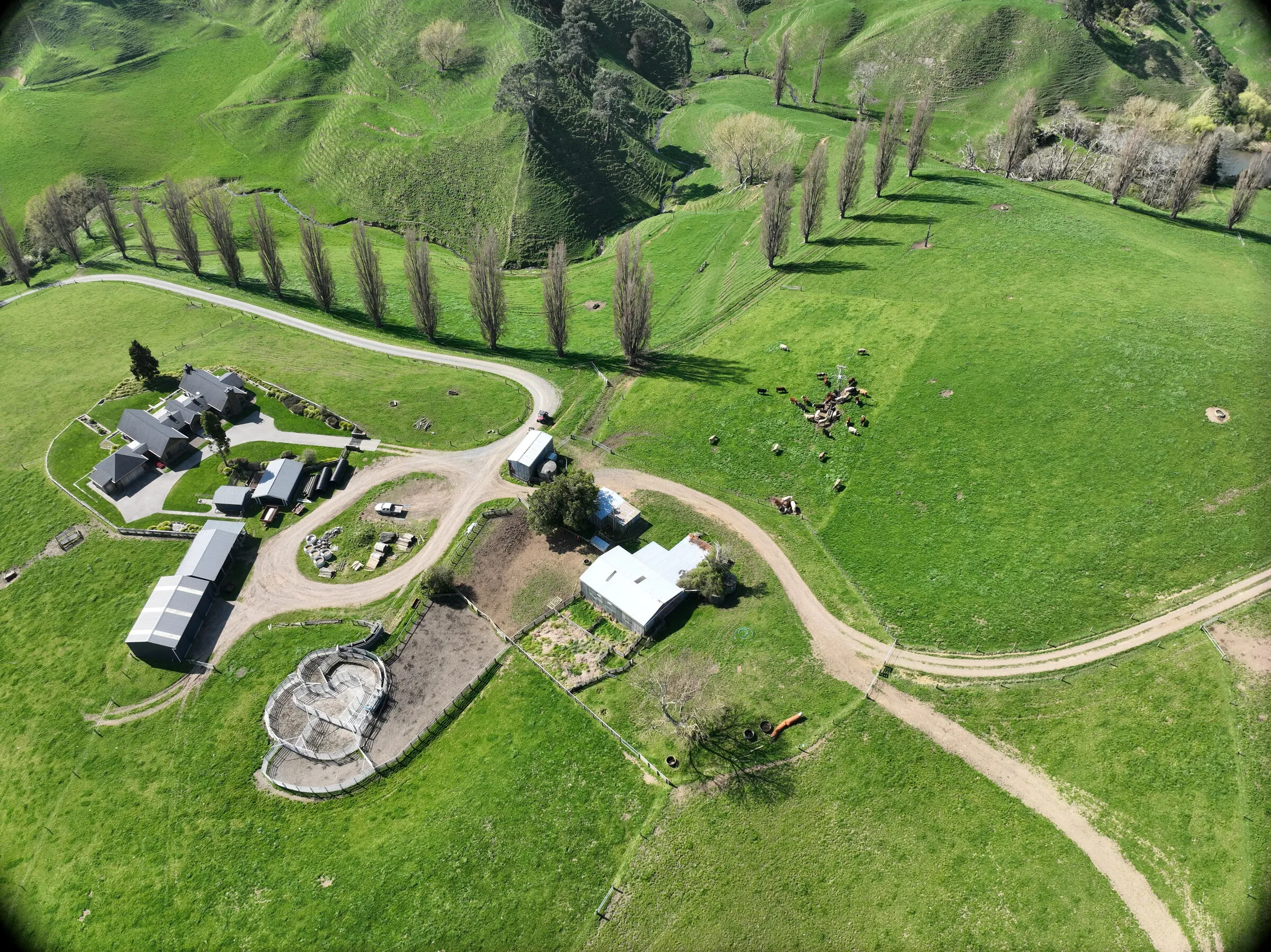
- Lanes and races — the edges and curves set right the first time.
- Riparian and stock-exclusion setbacks — the buffer marked off an accurate waterway, so the planting and fencing land where the rules actually want them.
In calm conditions this reliably comes in within 20 cm — plenty for any of the above. Wind makes a drone wander, so we pick a still day for it.
Where we keep you honest
This isn’t a legal boundary survey, and we won’t pretend it is. It’s for getting your infrastructure in the right place, accurately and affordably — not for settling a property line. If a fence runs near a boundary or could ever end up in a dispute, we’ll tell you straight: get a licensed surveyor on the critical pegs. For everything else, the drone does the job in a fraction of the time and cost.
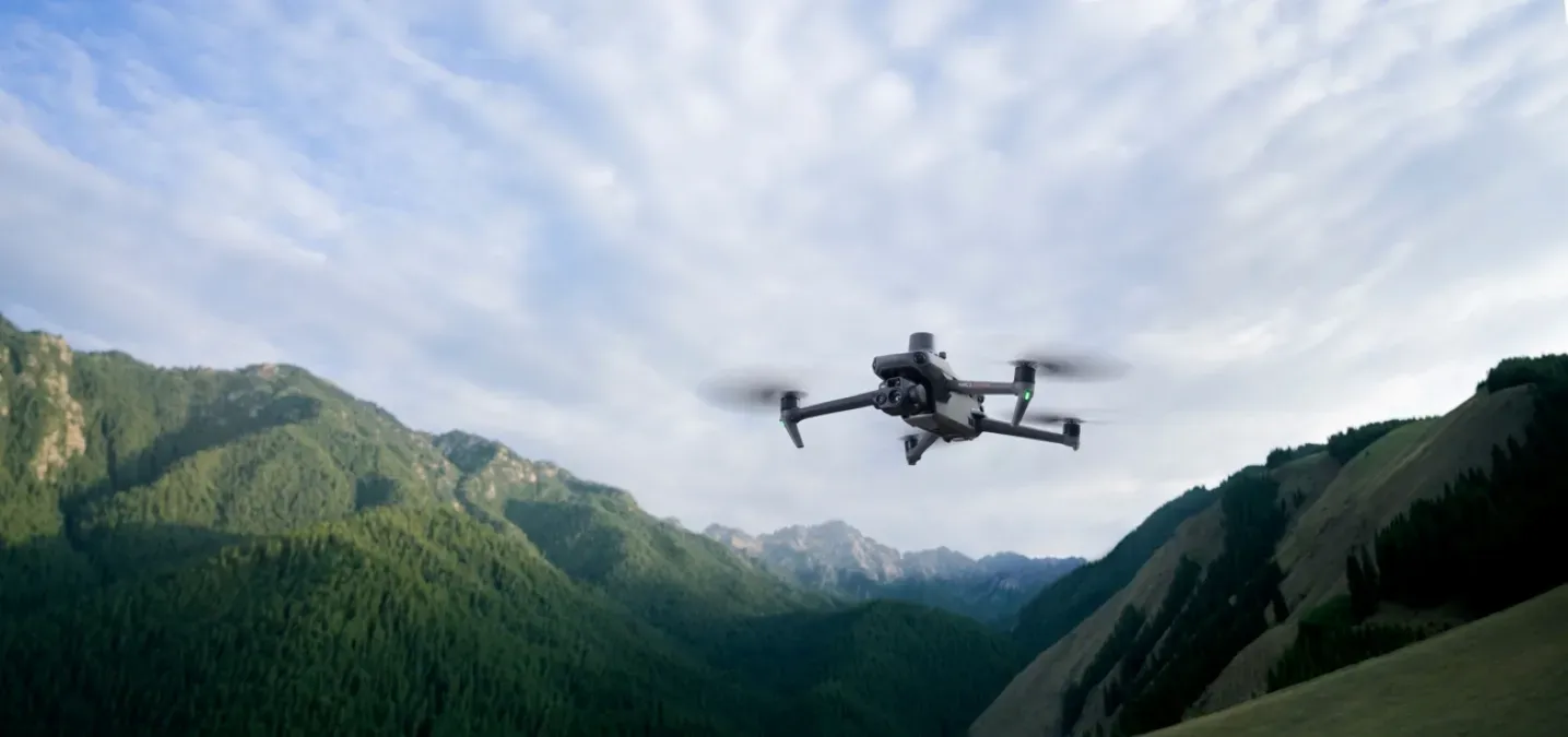
Behind the scenes we fly a DJI Mavic 3 Enterprise RTK and only mark a point once it’s holding a centimetre-accurate lock — but you don’t need to know any of that. You get a plan, and a line on the ground.
The bottom line
Accurate fence and lane plans don’t have to mean a surveyor’s invoice and a month’s wait. If you’ve got fencing, lanes or setbacks to lay out, we can map the plan and mark it on the ground — to within 20 cm, on a still day, ready to build.