


3D-Printed Farm Map
Your farm's actual hills and gullies, 3D-printed solid from real LiDAR terrain data — a farm you can hold, coming soon.
A Farm You Can Hold
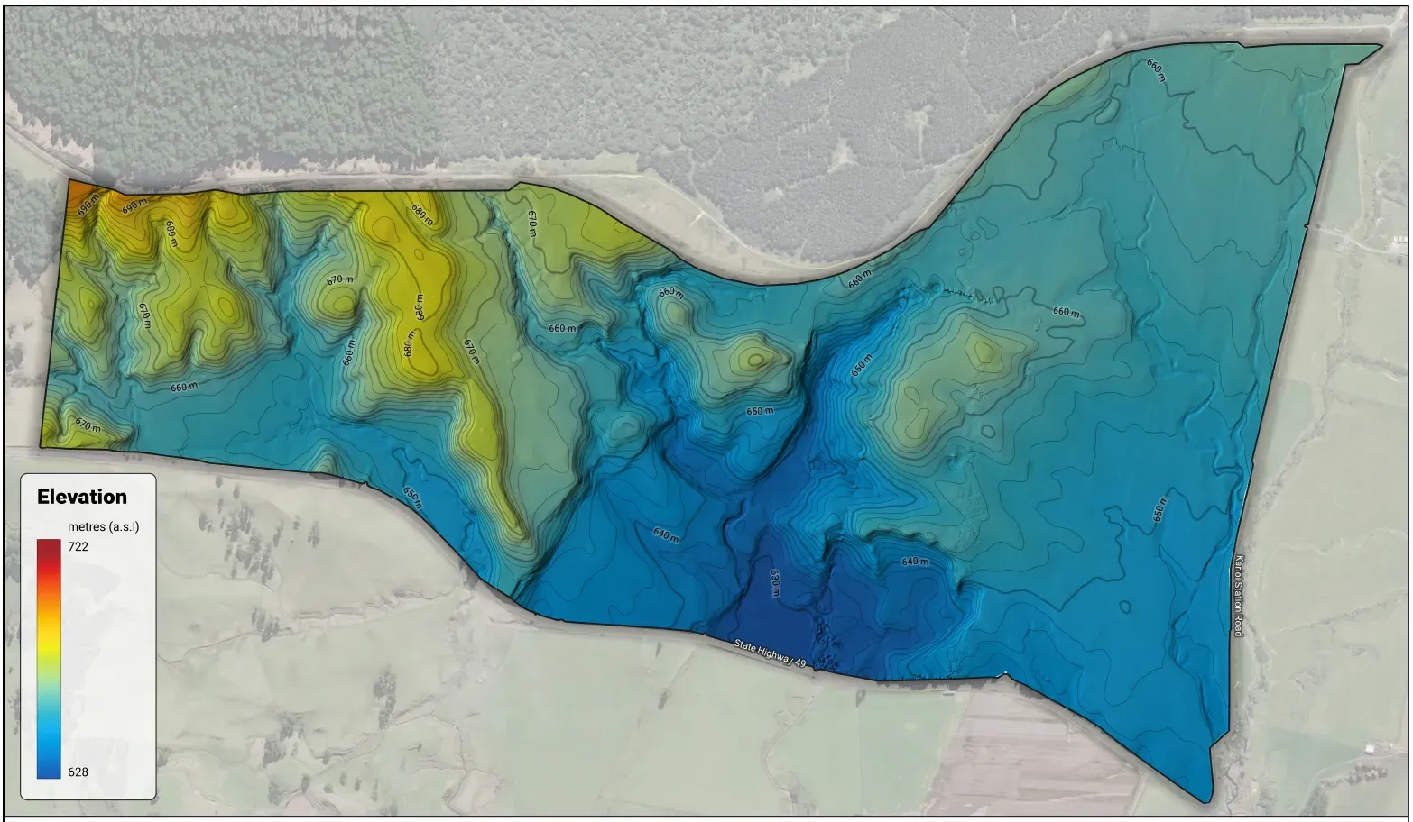
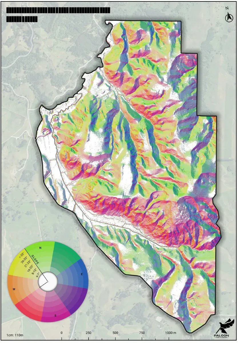
You know the shape of your farm better than anyone — which faces catch the morning sun, where the gullies run, the long climb to the back boundary. The 3D-printed farm map makes that shape solid. We take real LiDAR terrain data — the same data behind our elevation and slope maps — and print it: the actual hills, gullies, flats and faces of your place, raised so you can run a thumb along the ridgeline. It’s printed in tiles around 40 cm and joined, so it can sit on a desk or fill a wall — as big as you need, bigger just takes longer on the printer.
This one’s not for planning the grazing round — it’s the farm on the mantelpiece, the office desk or the shelf in the smoko room. The kind of thing you hand to a visitor to show them how the country runs, or give to Mum and Dad when they move off the place they spent their lives on. We’re getting the print and finish exactly right before we take orders, so it’s coming soon — get in touch and register your interest, and you’ll be the first to know when they’re ready.
- The actual hills and gullies of your place, printed solid
- Printed from real LiDAR terrain data — the true shape of the farm
- Coming soon — register your interest to be first in line
Sizes
Materials
Options
Delivered ThroughThese Services
Register Your Interest In The 3D-Printed Farm Map
Your farm's actual hills and gullies, 3D-printed solid from real LiDAR terrain data — a farm you can hold, coming soon. Coming soon — get in touch and you'll be first to know when it lands.