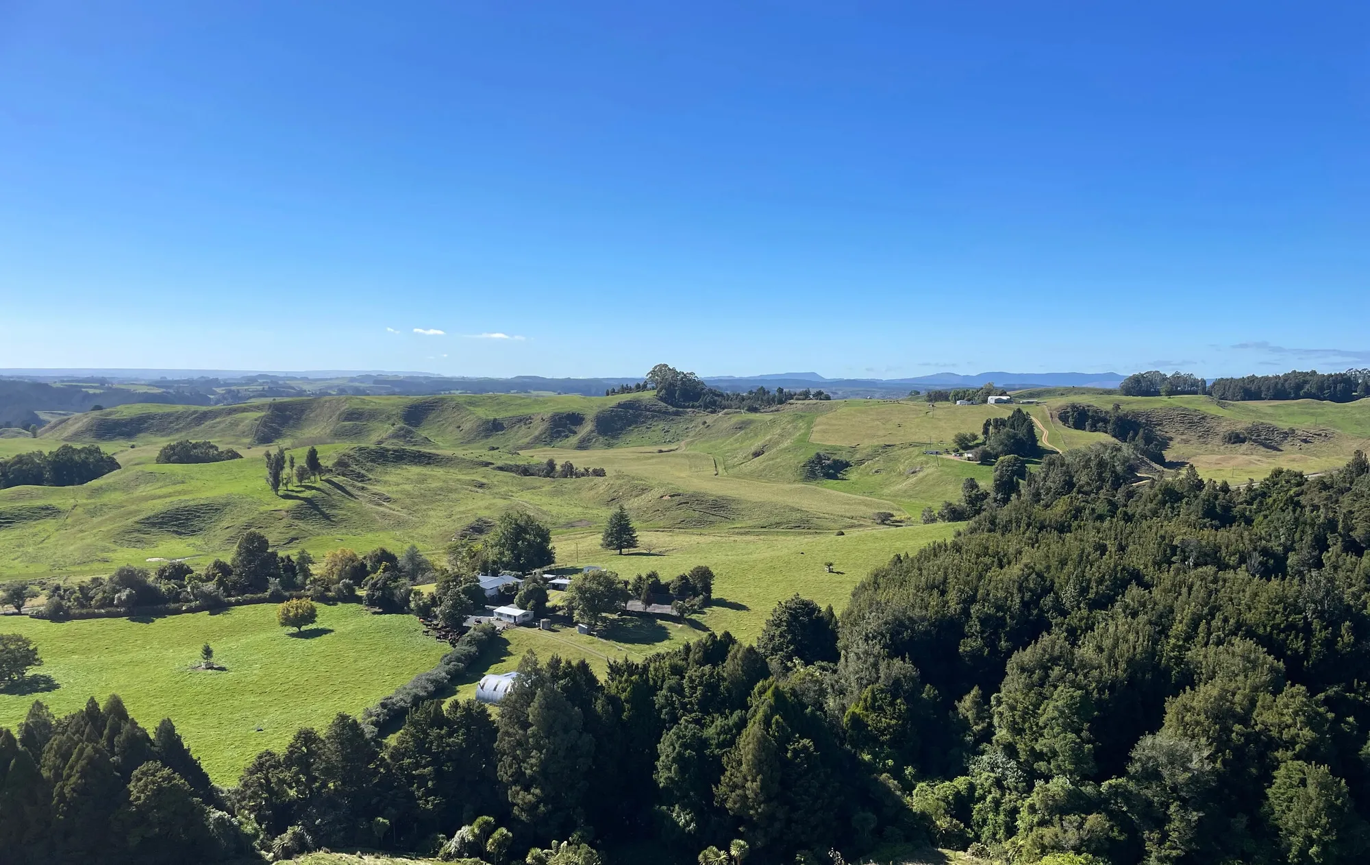



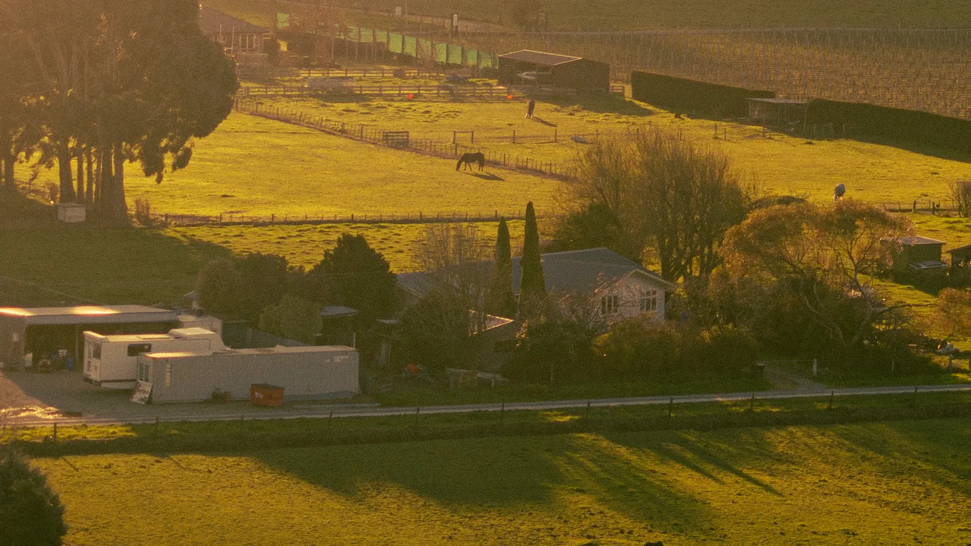
What's NZFAP+ Actually Worth to Your Bottom Line?
On our clients' kill sheets certification is worth 20c/kg carcass weight — 10c for NZFAP, 10c for NZFAP+. The maths, and the caveats that actually matter.
Who We Are
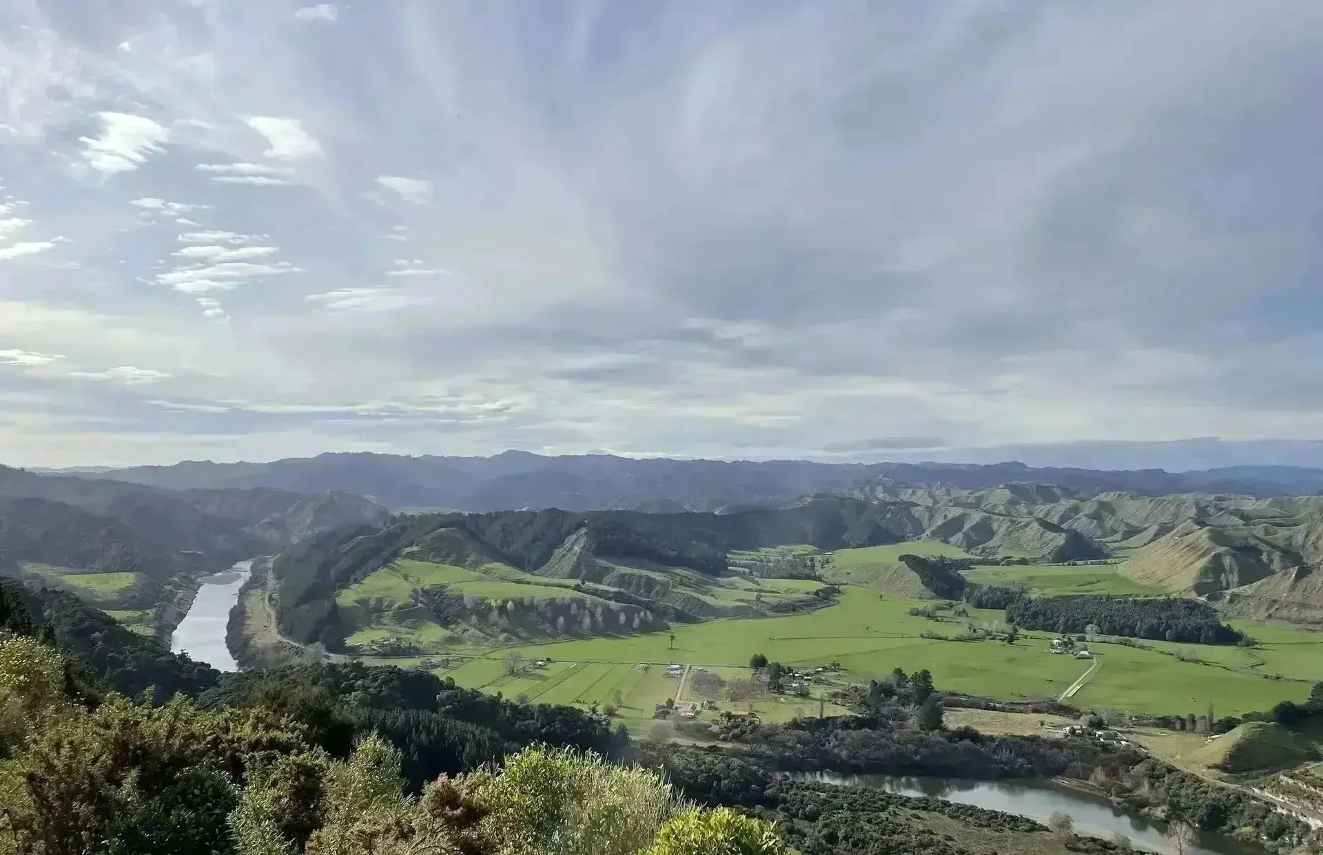
We come from farming, so we know what works on the ground. Maplands delivers high-quality farm-scale maps, certified farm plans, drone mapping and on-farm communication tools across New Zealand — Farm Assurance Programmes, regulatory compliance and nutrient management included.
Better maps, faster, that look better — we handle the technical, so you can focus on farming.
What We Do
Practical, high-quality mapping and farm planning solutions for New Zealand farmers
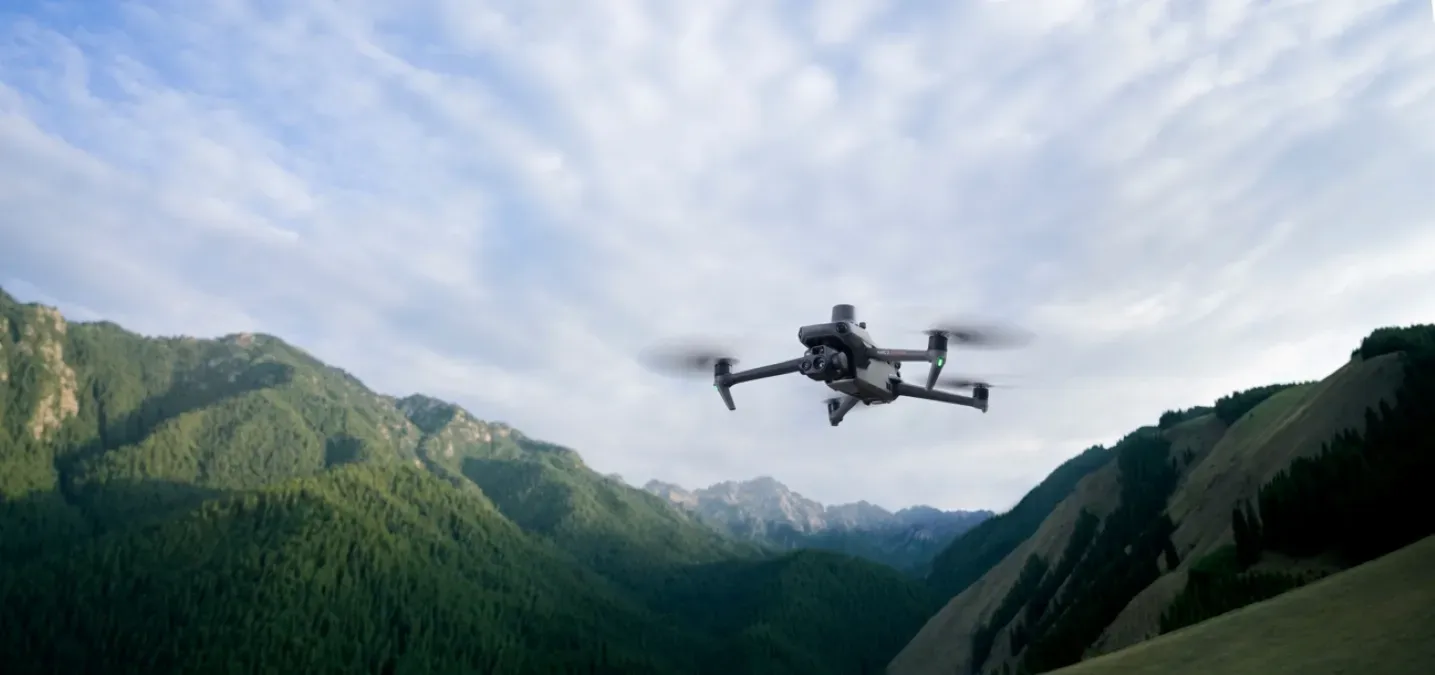
High-resolution drone imagery and photogrammetry terrain modelling for farm planning, waterway mapping, compliance — or just a damn fine map on your wall.
Read More
Base NZFAP and NZFAP+ (Silver & Gold) farm plans — the full built report, maps and a tailored environmental plan, done with you.
Read More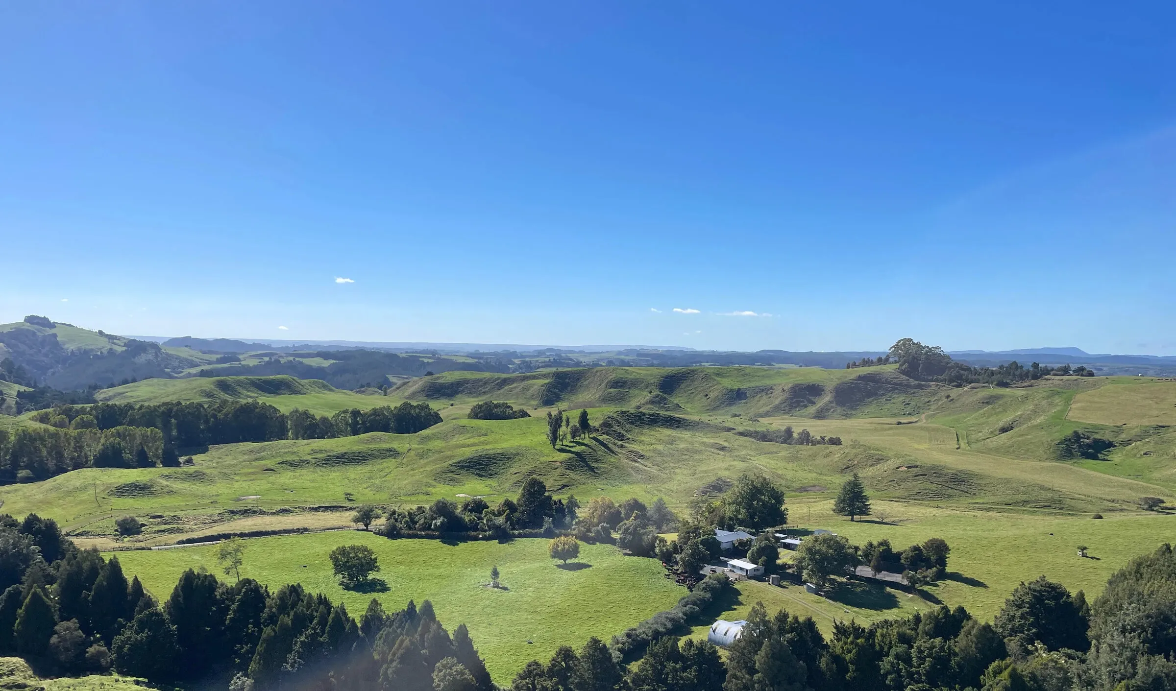
Certified, audit-ready freshwater farm plans built on real farm-scale mapping — for Horizons, Waikato and Greater Wellington farmers.
Read More
Farm-scale Land Use Capability (LUC), Land Resource Inventory (LRI) and soil mapping — at the right intensity for your farm or orchard plan.
Read More
Certified, Overseer-based nutrient management plans for NZ farms — soil tests turned into a paddock-by-paddock fertiliser plan that keeps you compliant.
Read More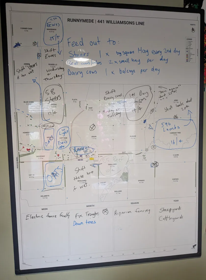
Clean, accurate farm maps for NZ farms — printed wall maps and write-on whiteboard paddock maps, built with you in a planning session.
Read MoreProducts
Whiteboards, tear-off pads and boards — all made from your farm's real map, built for the office wall, the woolshed and the ute
Your farm as a wipe-clean whiteboard — plan grazing, spray and mating straight on the map, wipe it off and go again next round.
Learn More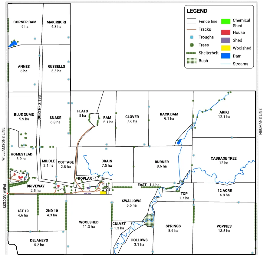
Tear-off paper pads where every sheet is your farm's paddock map — scribble the plan, hand it over, tear off a fresh one next time.
Learn More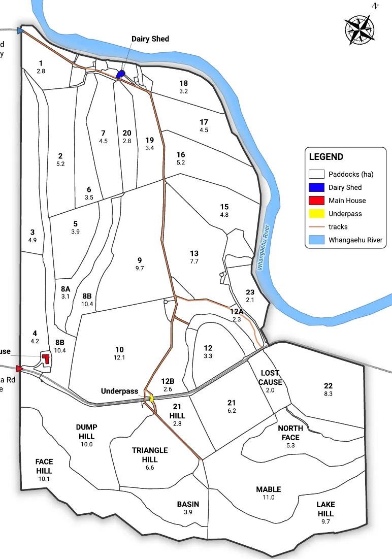
Your farm's hazards, no-go zones and assembly points on one printed board — the map you point contractors and visitors at before they head out.
Learn More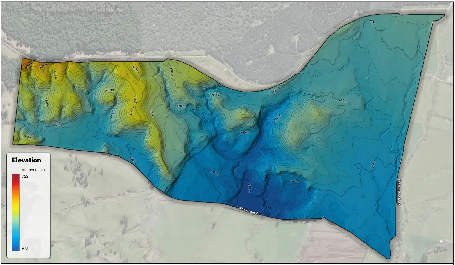
Your farm's actual hills and gullies, 3D-printed solid from real LiDAR terrain data — a farm you can hold, coming soon.
Register InterestPackages
Our services and products bundled around the jobs farms actually need done — from a map on the wall to a full compliance-ready farm plan
START HERE
The first proper map of the place — a write-on whiteboard map of the whole operation, built with you and put on your wall.
THE FULL JOB
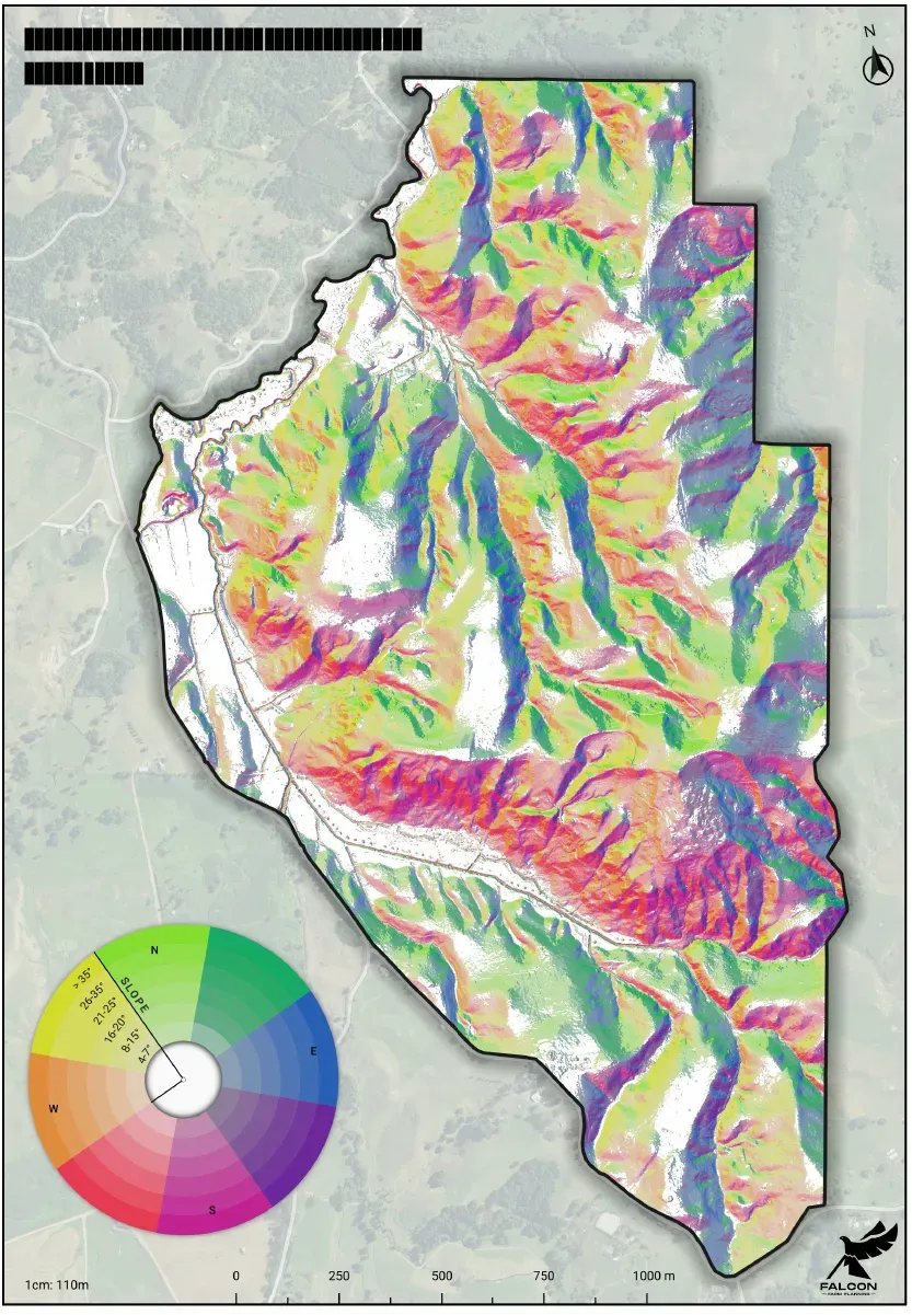
Field-verified LUC and soil mapping, an NZFAP+ farm plan built on that foundation, and the whiteboard map and tear-off pads that put it to work every day.
AUDIT-READY
The audit-ready bundle — a full NZFAP+ farm plan for the auditor, a health and safety hazard board on the wall for the team, contractors and visitors, and a write-on paddock map for the day-to-day.
Our Difference
We're farmers ourselves — we develop plans that work for you and your farm, not just for regulators.
NZFAP+ certified, certified freshwater farm plan provider, and Certified Nutrient Management Advisor.
Our maps are built to be genuinely useful beyond their regulatory purpose — accurate, clear, and farm-scale.
We work efficiently to deliver your plans and maps quickly, without compromising on quality.
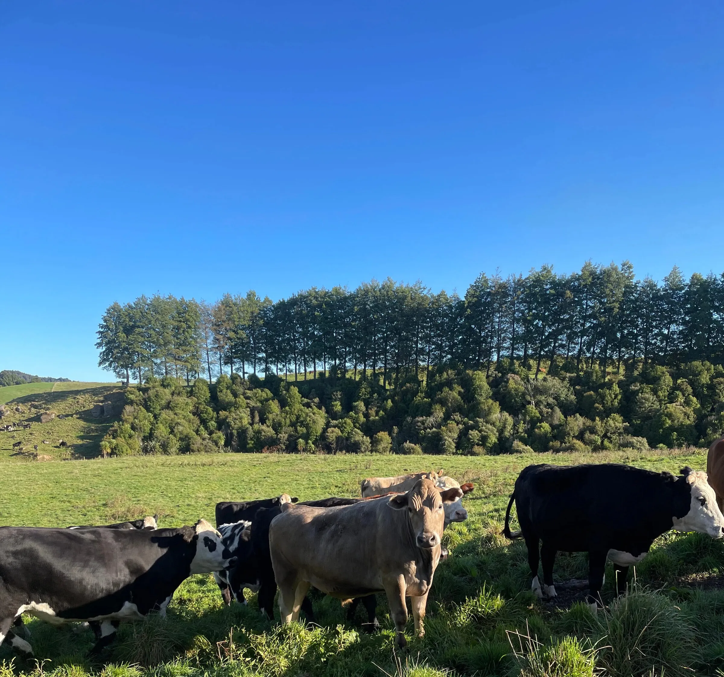
Talk to us about your farm. We handle the technical so you can focus on farming. Fast turnaround, high-quality maps, and practical plans built for New Zealand conditions.
From the field
Practical notes on farm mapping, soils and compliance — no fluff.
On our clients' kill sheets certification is worth 20c/kg carcass weight — 10c for NZFAP, 10c for NZFAP+. The maths, and the caveats that actually matter.
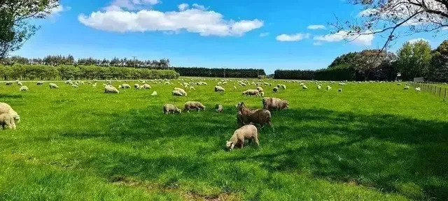
We sell farm plans, so you'd expect us to say every farm needs one. They don't. The NZ farms where NZFAP+ certification doesn't pay — told straight.
A drone photo measures the grass; LiDAR measures the ground beneath it. On NZ hill country that decides whether your slope, water and LUC class are right.
Say 'LUC' and most NZ farmers think environmental paperwork. Land Use Capability was built to answer a profit question — what will this land actually repay?
A farm plan is only as good as the map under it. Why a field-verified, farm-scale Land Use Capability (LUC) base beats the minimum NZFAP+ asks for.