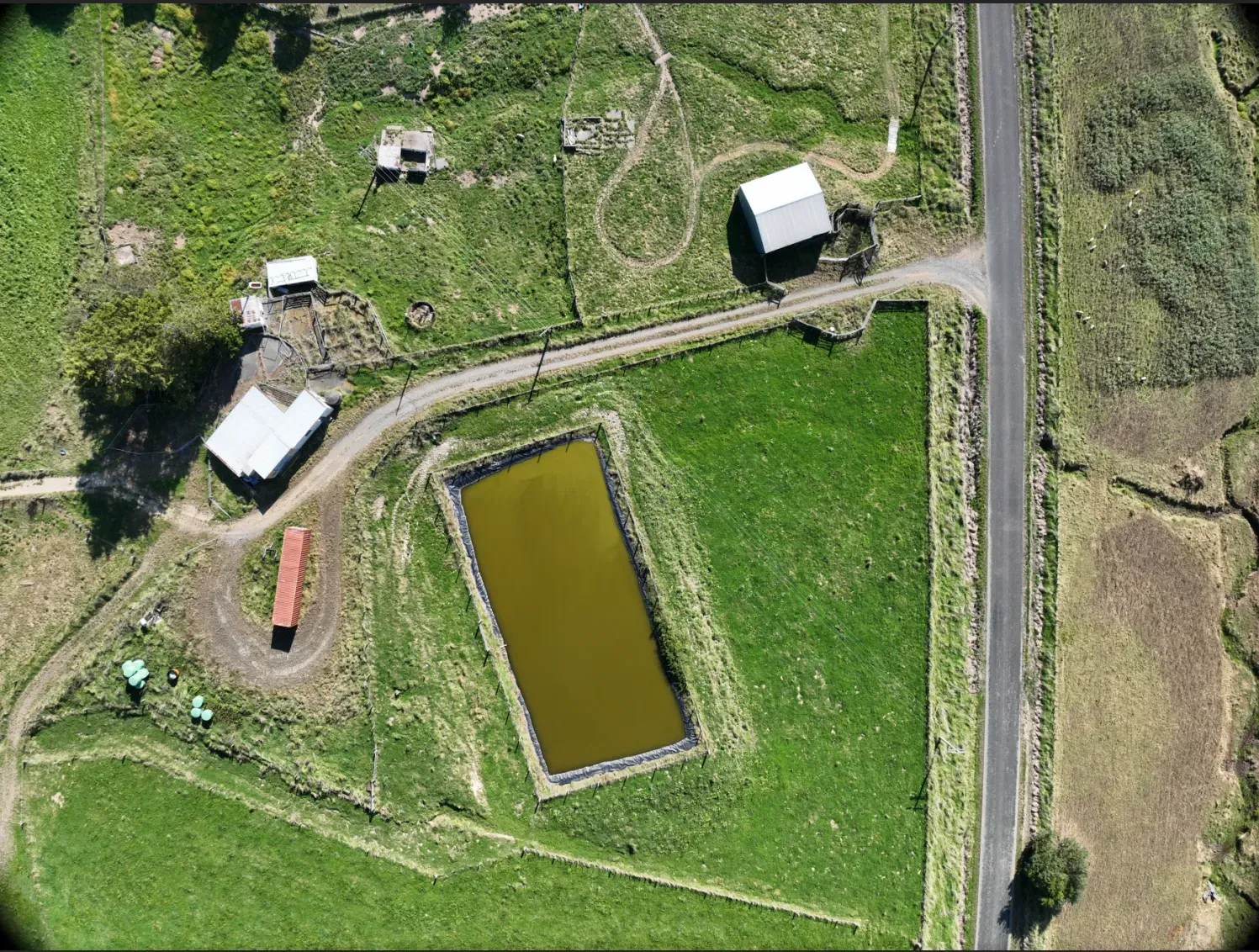



A drone map can be a flashy photo of the place — and it makes a cracking one. But that’s the by-product, not the point. Here are the actual, practical reasons a farmer gets their farm flown.
A current map, without the wait
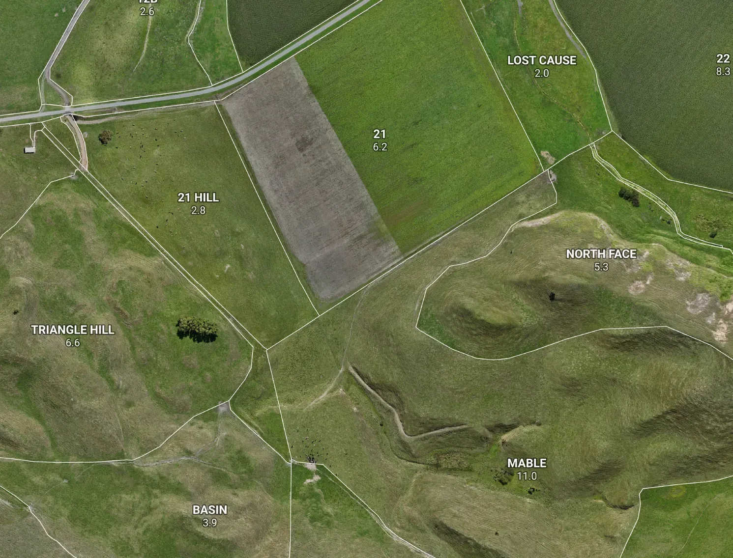
Council and national aerial imagery can be years old, and you wait for the next flyover for it to catch up. A drone flies your farm this week. New block, re-fenced country, a lane that wasn’t there last season? You don’t have to wait for someone else’s schedule — we map it now, off current imagery.
Paddock areas and infrastructure you can trust
Fresh, high-resolution imagery means real paddock boundaries, true hectares, and your troughs, gates and races sitting exactly where they are. That’s the backbone of a map you can plan, budget and graze off — “about 12 ha” becomes a number you’d stake money on.
Terrain you can actually use
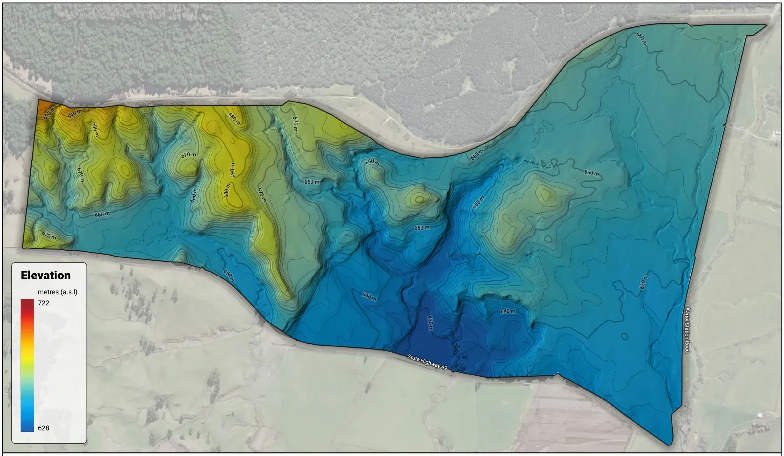
The drone doesn’t just take photos — it builds a 3D model of the land. Real slope, contours and drainage, measured at your farm rather than guessed from coarse national data. That’s what feeds fencing and lane design, earthworks and drainage, erosion-prone country and land use capability.
A map worth putting on the wall
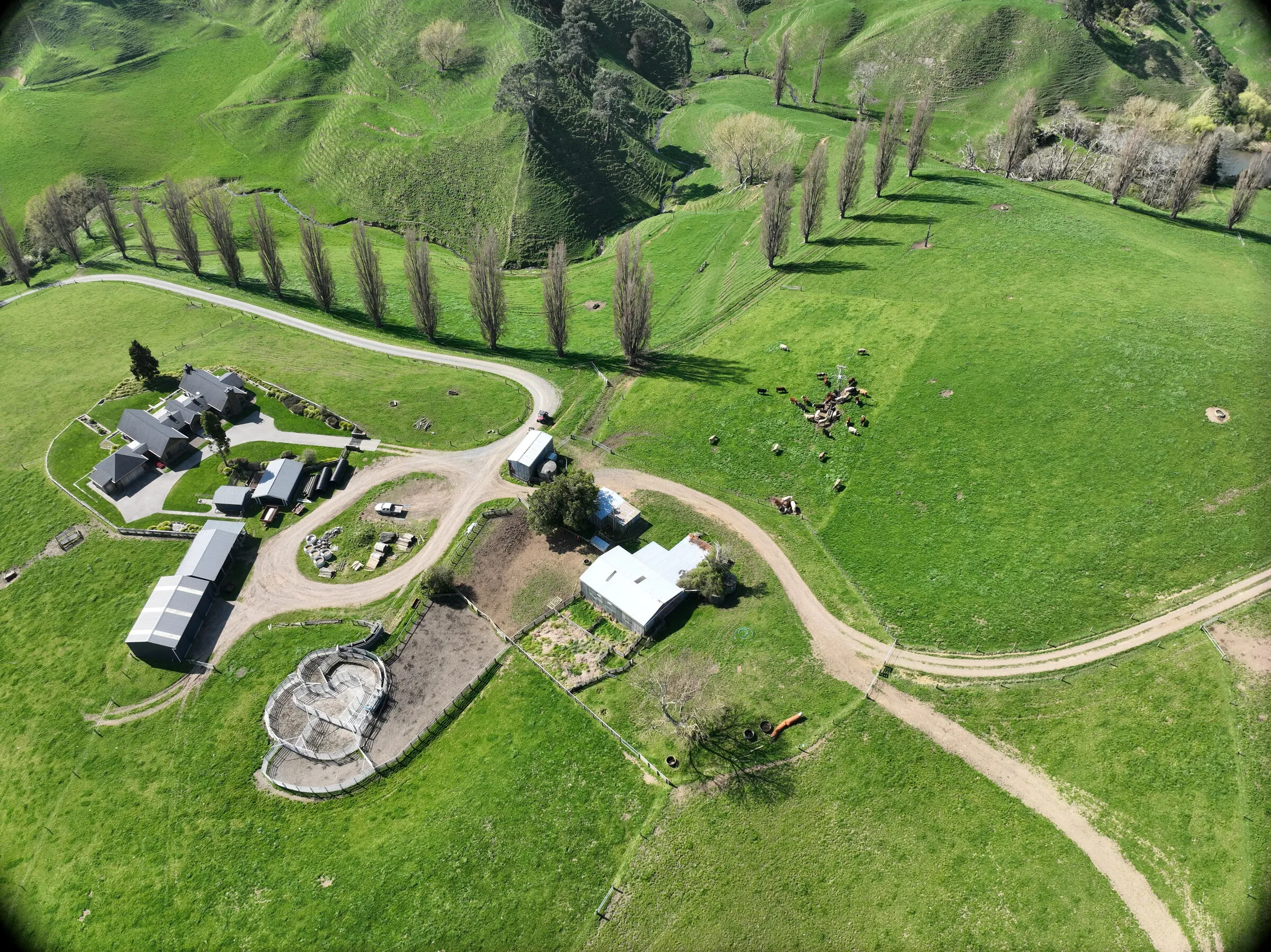
A crisp aerial of the whole place makes genuinely nice wall art for the office or the kitchen — and the same flight is the base for a clean, printed paddock map the whole team runs off. Good-looking and useful, off the one job.
Compliance, off the same flight
Accurate waterways, setbacks and natural-resource detail for your Freshwater Farm Plan or NZFAP+ come straight off the imagery and terrain — legible, accurate, and ready for an audit.
The bottom line
One flight, a stack of uses: a current map, paddock areas you can trust, real terrain, a wall-worthy aerial, and the base for your compliance maps. You might book it for one of those — but you’ll end up using it for all five.