


A drone photo of your place looks great on the wall. But there’s a quieter question that decides whether the map underneath it is any good: did it measure the ground, or just the grass? That’s the difference between a camera and LiDAR — and on hill country, it’s the difference between a map you can plan from and one that quietly lies to you.
A camera maps the top. LiDAR maps the ground.
Photogrammetry — stitching hundreds of overlapping photos into a 3D surface — is brilliant, and we use it on every job. But a camera can only measure what it can see. Over pasture, scrub, gorse or bush, what it sees is the top of the vegetation, not the dirt underneath. The surface it builds sits on the canopy.
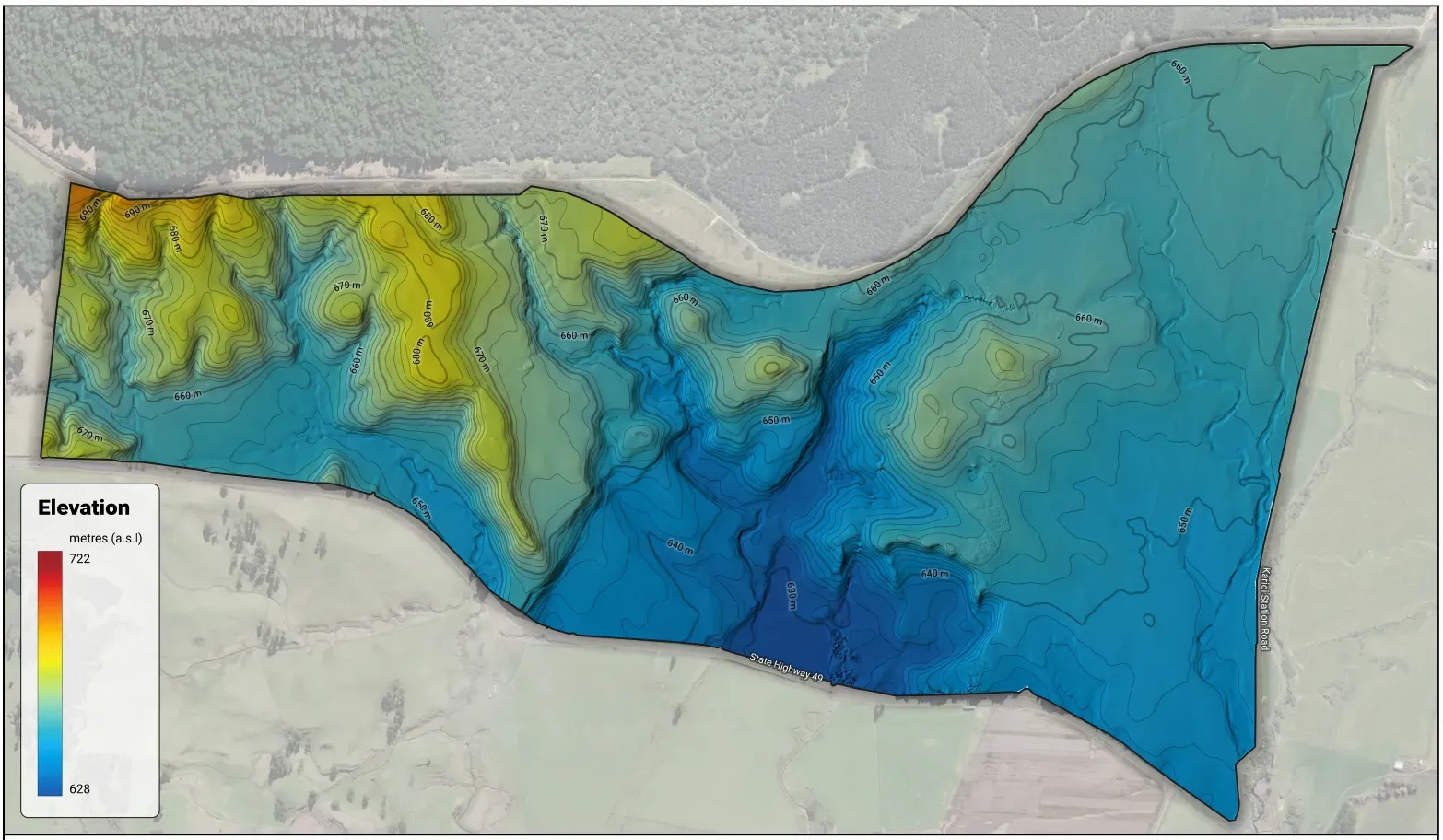
LiDAR works differently. It fires laser pulses that slip through the gaps in the cover and read the last return — the ground. Where there’s a hole in the canopy, the pulse finds the dirt. Collect enough of them and you get a bare-earth model: the actual lie of the land, with the vegetation stripped off.
On a bare, short-grazed paddock the two agree — the grass is near the ground. But that’s not where the decisions are hard. The hard calls are on the steep, covered country, and that’s exactly where a camera’s “ground” can be a metre or two of gorse.
Why it matters: your slope, and your water
Two things ride directly on getting the real ground.
Your slope — and your LUC class. Slope is the backbone of Land Use Capability. Measure the canopy instead of the ground on a scrubby face and you can bump a block into the wrong slope class, and the wrong LUC class with it. A bare-earth model gives you honest slope — and an honest farm-scale LUC base to build the plan on.
Your water. Trace where water runs on a canopy surface and it flows over fences and around scrub — nonsense. Critical source areas, flow paths, the wet corners and swales: that’s micro-topography, and you can only follow it on bare earth. For a Freshwater Farm Plan, that’s the layer that actually does the work.
And the rest
Once you’ve got the real ground, the jobs stack up:
- Erosion — gully heads, slump scarps, earthflows. They hide under cover; LiDAR shows the shape of the ground they’re cutting into.
- Earthworks — cut-and-fill volumes, track grades, where a dam should sit. You can only set those out from bare earth.
- Contours you can trust — for races, drains and dams, off the real surface, not the top of the gorse.
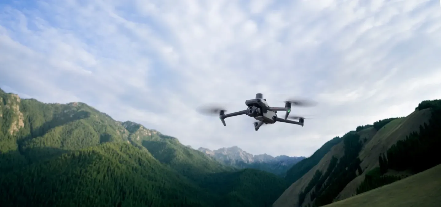
This is the work the heavier kit is for — the Matrice 400 and its LiDAR payload earn their place by reaching the ground under cover, which a camera fundamentally can’t.
Both tools, the right job
This isn’t camera-versus-LiDAR. We fly both, and they do different jobs:
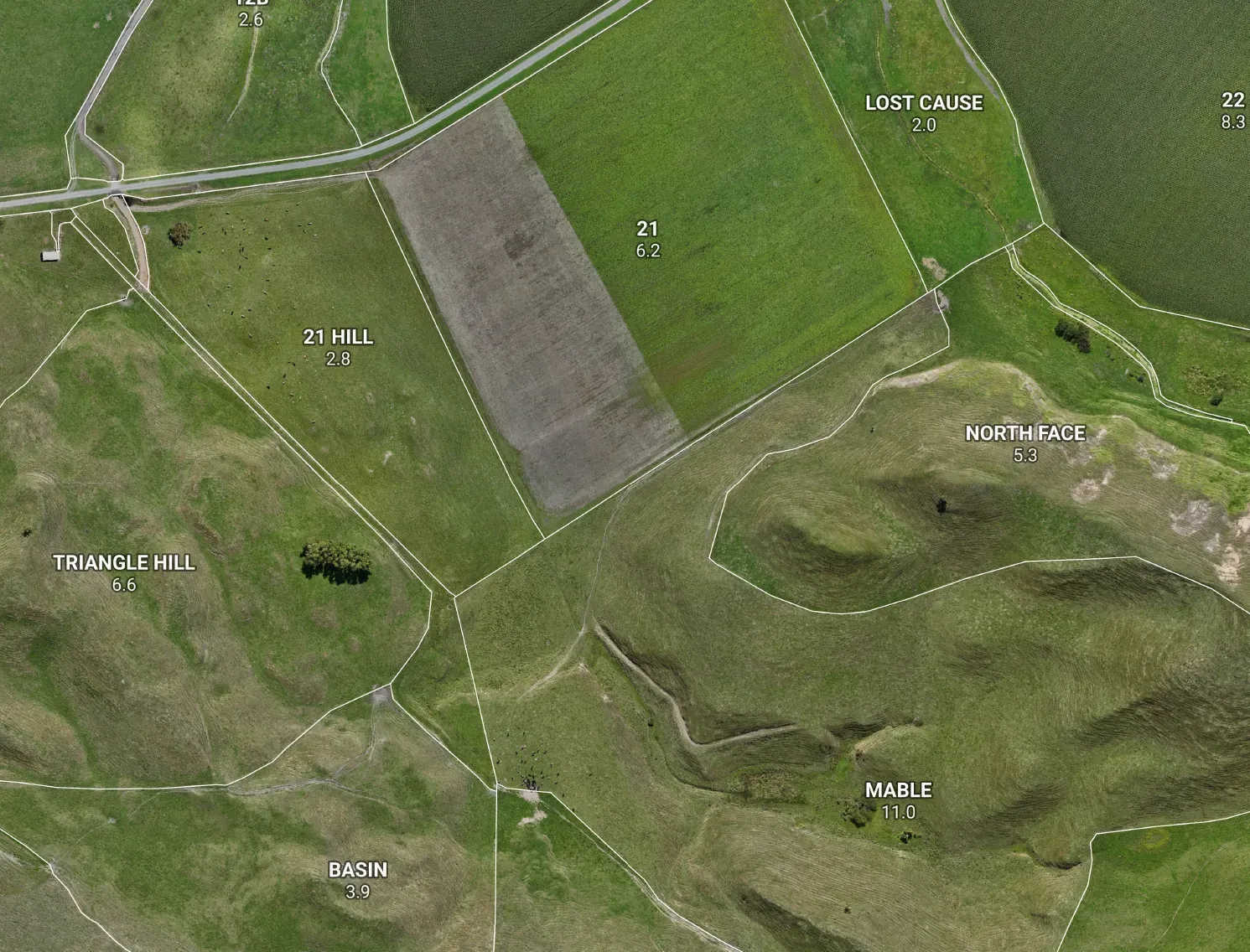
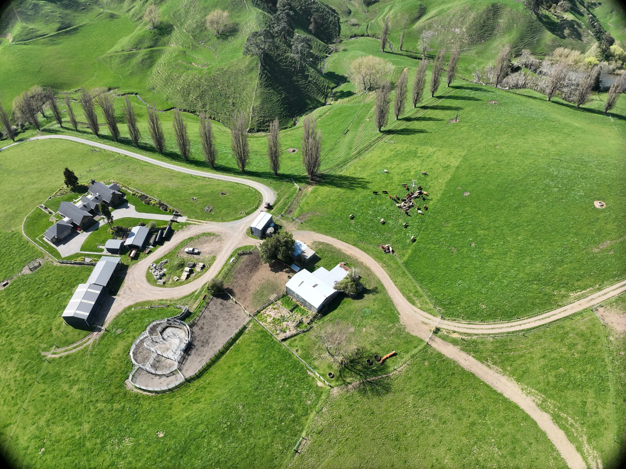
- The camera builds your orthomosaic — the sharp aerial you recognise your place in, the visual base map, the wall art.
- LiDAR builds the bare-earth terrain underneath it — the slope, the water, the erosion, the volumes.
One gives you the picture; the other gives you the ground truth. Put them together and you’ve got a farm map that looks as good as it measures. (If you’re weighing up why you’d fly your farm at all, this is the half that does the heavy lifting.)
The honest bit
A LiDAR terrain model is farm-planning grade, not a legal boundary survey — it’ll tell you how the land lies and where the water goes, but a disputed peg is still a licensed surveyor’s job. And the terrain layers are the part that’s genuinely farm-scale and measured — your soils and rock still lean on regional maps until someone’s checked them in the paddock. We’re straight about which is which, because a map you can plan from is one that tells you what it knows as well as what it’s guessing.