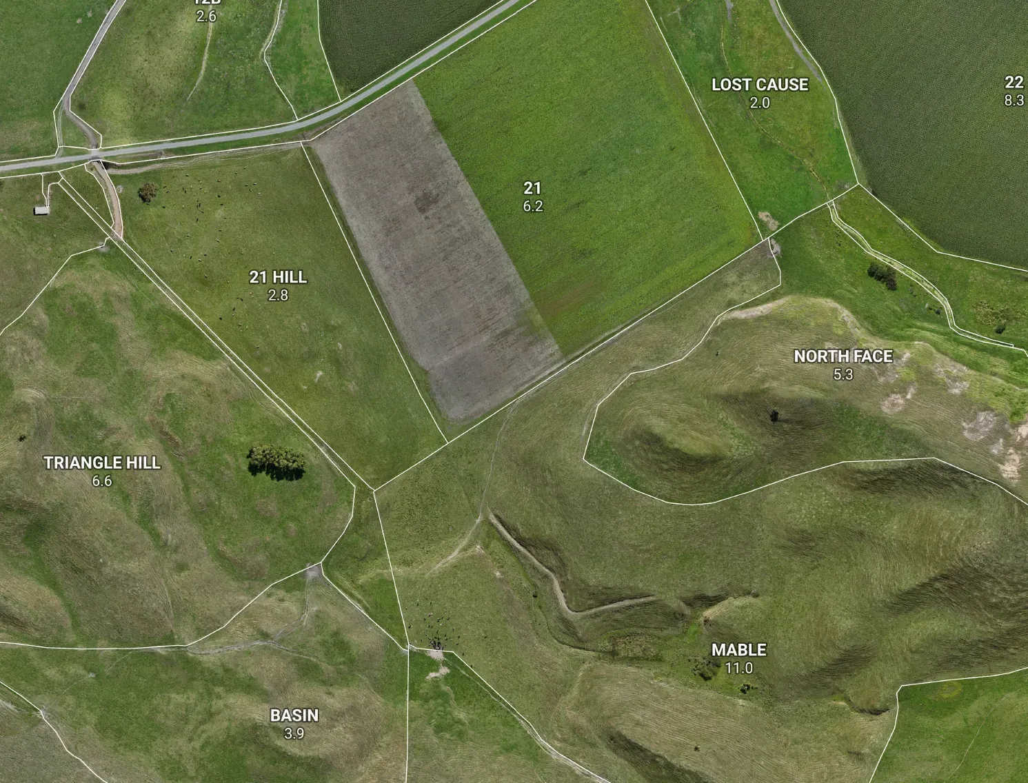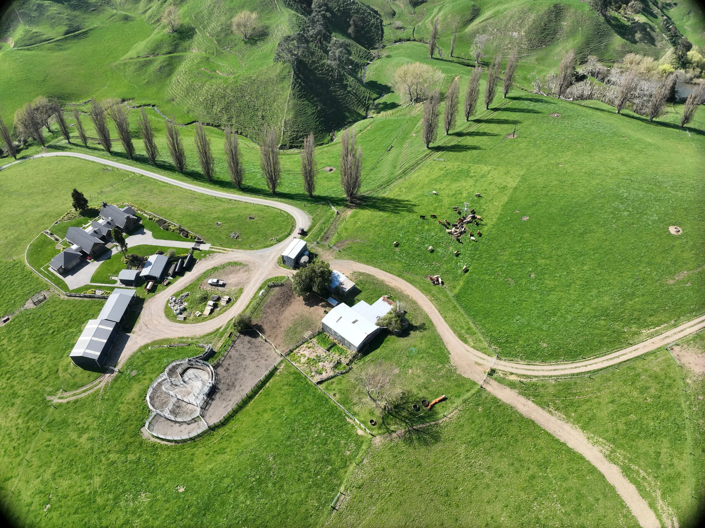



The Mavic 3 Enterprise does our bread-and-butter mapping beautifully. The step up we’ve got our eye on is the DJI Matrice 400 — a platform that’d let one airframe carry the lot: LiDAR, thermal and multispectral. Here’s an honest look at it and the payloads worth having.
The platform
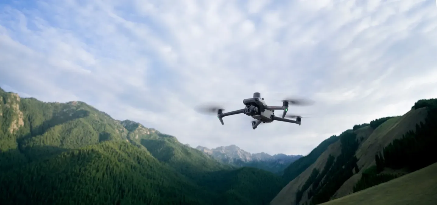
Announced in mid-2025, the M400 is a proper multi-sensor survey rig. Around 59 minutes of flight, up to 6 kg of payload, and — the big one — it can carry several payloads at once, so you can fly LiDAR and a camera (or thermal) in a single sortie. Built-in RTK, weatherproof to IP55, and obstacle sensing sharp enough to pick out power lines in the dark. Just as importantly, its open payload system means you’re not locked to DJI’s own sensors — which matters for the multispectral side below.
LiDAR — the Zenmuse L3
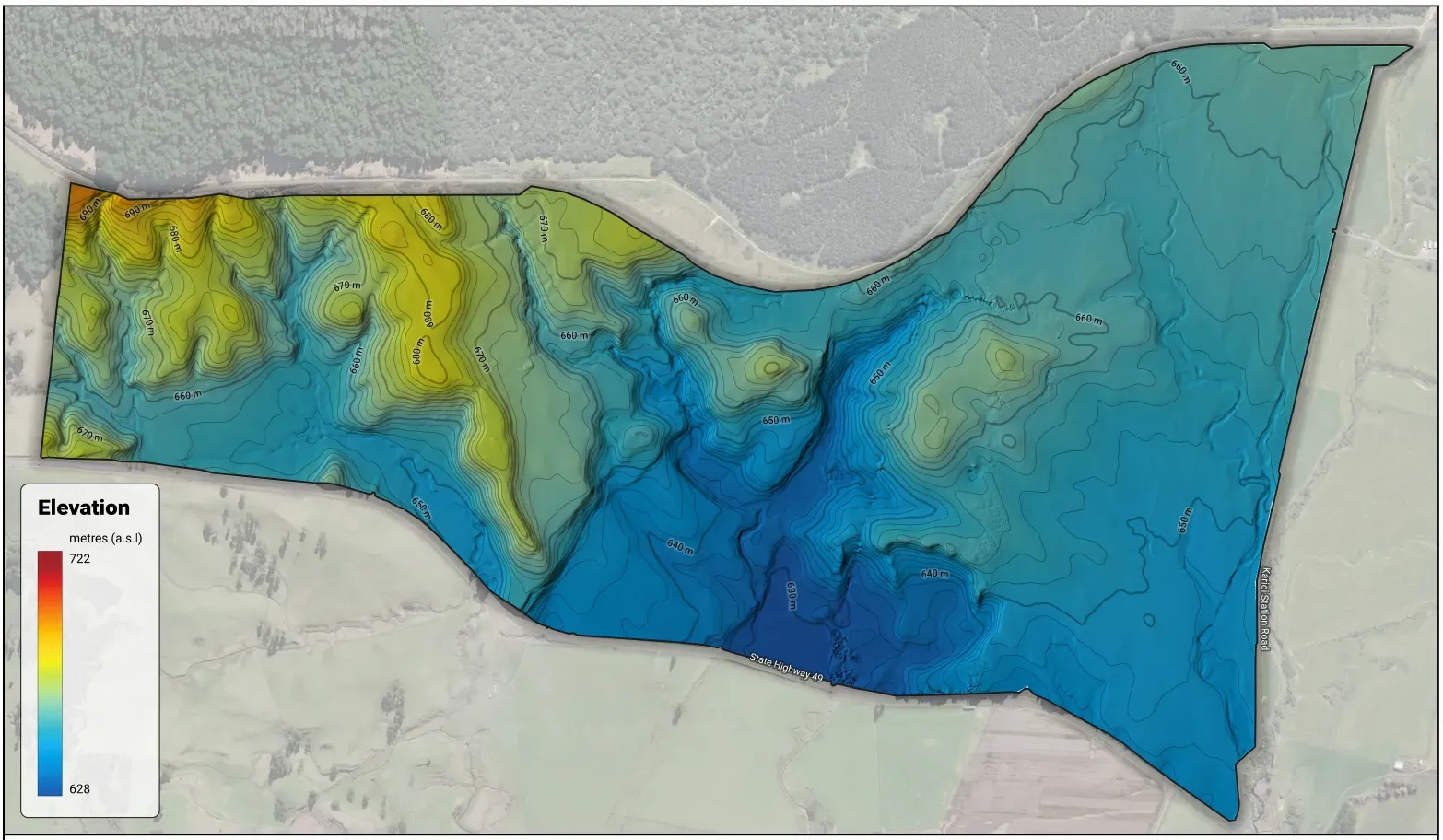
This is the headline. Where photogrammetry maps the top of the pasture or scrub, LiDAR fires through the gaps and reads the ground underneath — a true bare-earth elevation model under cover. The L3 measures to about 3 cm vertical at 120 m, with up to 16 returns per pulse — enough to punch through scrub and bush that defeat a camera. For New Zealand hill country that’s the difference between guessing the lie of the land and measuring it: honest slope (the backbone of your LUC class), the critical source areas and flow paths a Freshwater Farm Plan leans on, erosion-prone faces, gullies and slumps, earthworks and contour planning — all on real ground. (The earlier L2 is a tidy value option that also fits the M400, but for under-canopy hill country the L3’s extra returns earn their keep.)
Thermal — the Zenmuse H30T
A 1280×1024 thermal camera opens a different set of jobs: finding stock in cover or after dark, spotting irrigation and trough leaks, picking up effluent ponding or a blocked drain, and catching an overheating pump before it fails. Practical, and a genuine time-saver on a big place.
Multispectral — pasture and crop health
The open payload system is built for exactly the multispectral sensors precision ag already runs — MicaSense’s RedEdge-P (five discrete bands plus a sharpening panchromatic), the Altum-PT if you want a calibrated thermal band in the same unit, or Sentera’s 6X. RedEdge is the established name in this work, not novelty kit. What they read that an ordinary camera can’t is the near-infrared and red-edge light a plant reflects: healthy pasture bounces NIR back hard, and it stops before the stress shows to the eye. That’s the physics behind NDVI — canopy vigour and biomass, where a paddock’s thriving and where it’s lagging — and NDRE, which sees deeper into a thick canopy and tracks chlorophyll and nitrogen where NDVI flattens out. A downwelling light sensor and a reflectance panel anchor the numbers, so a passing cloud doesn’t read as a sick paddock and you can compare the same ground flight to flight across a season.
On the deck that’s variable-rate nitrogen zones instead of blanket spreading, moisture and stress patches caught early, re-grassing strike confirmed, weed and pest hotspots pinned to walk and check. The honest line — and it’s the useful one — is that an index map tells you where to look, not the exact rate: it points the soil test and the agronomy call, it doesn’t replace them. Timed to the question and calibrated, it’s one of the most valuable layers a drone can carry — and it rides on the same airframe as the LiDAR and thermal.
Why it earns its place
The reason the M400 is worth it isn’t the drone — it’s what the data feeds. Bare-earth LiDAR runs straight into LUC, erosion mapping, freshwater critical source areas and earthworks; thermal and NDVI add the operational and crop-health picture. Together that’s most of the layers an NZFAP+ or freshwater plan actually leans on. Good kit is only ever as good as the map you build from it.
The bottom line
The Matrice 400 is a one-airframe survey rig — LiDAR for the ground, thermal for the heat, multispectral for the crop. Brilliant at what it does, and well worth getting the payload mix right for the work you actually do.