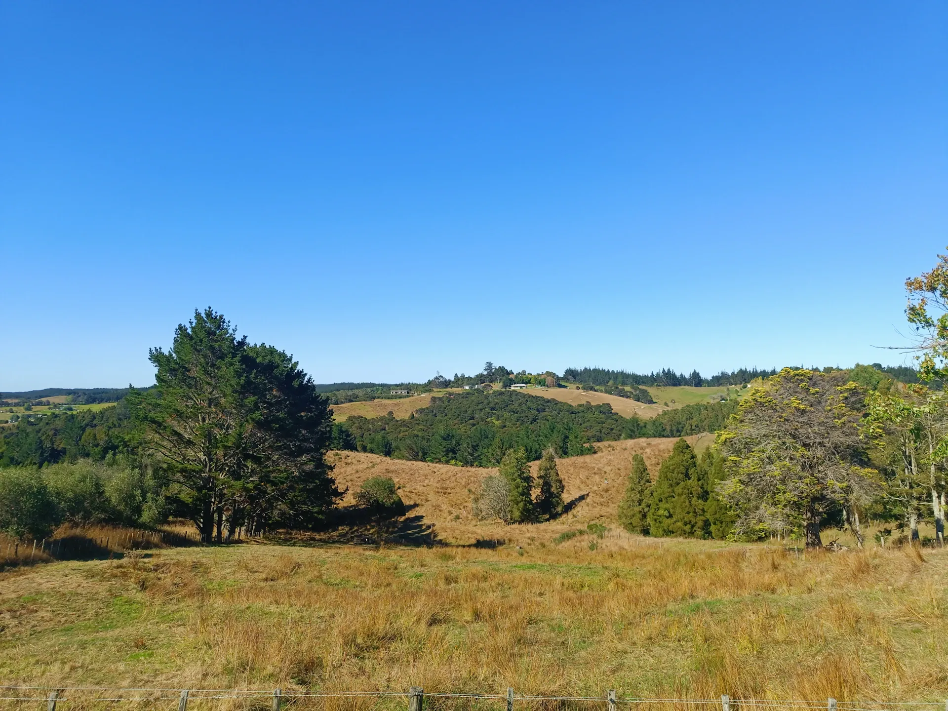



Our Services
What We Do
Our Services
Practical, high-quality mapping and farm planning solutions for New Zealand farmers
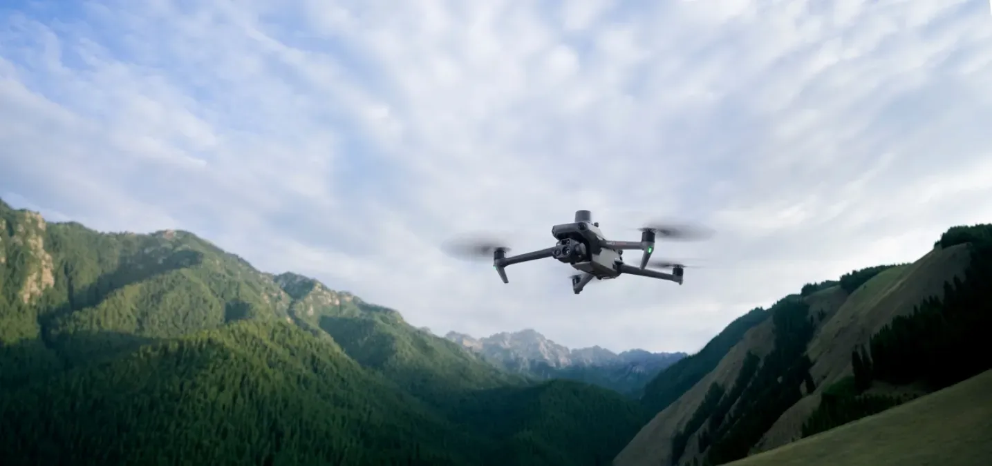
Drone Mapping
AERIAL IMAGERY
High-resolution drone imagery and photogrammetry terrain modelling for farm planning, waterway mapping, compliance — or just a damn fine map on your wall.

Farm Plans (NZFAP+)
NZFAP+ SILVER & GOLD
Base NZFAP and NZFAP+ (Silver & Gold) farm plans — the full built report, maps and a tailored environmental plan, done with you.
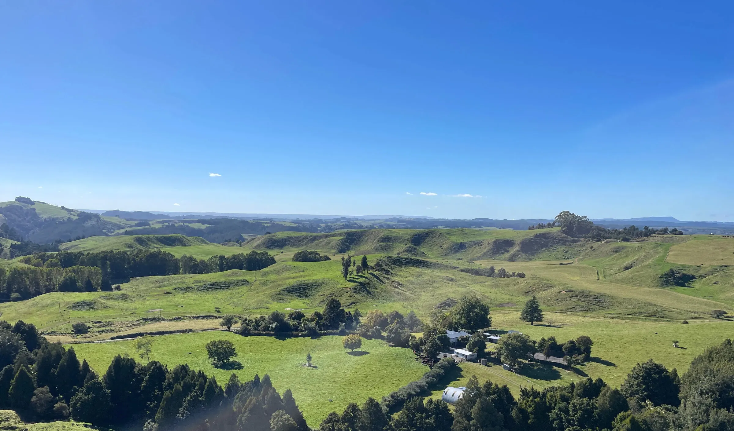
Freshwater Farm Plans
FRESHWATER CERTIFIED
Certified, audit-ready freshwater farm plans built on real farm-scale mapping — for Horizons, Waikato and Greater Wellington farmers.
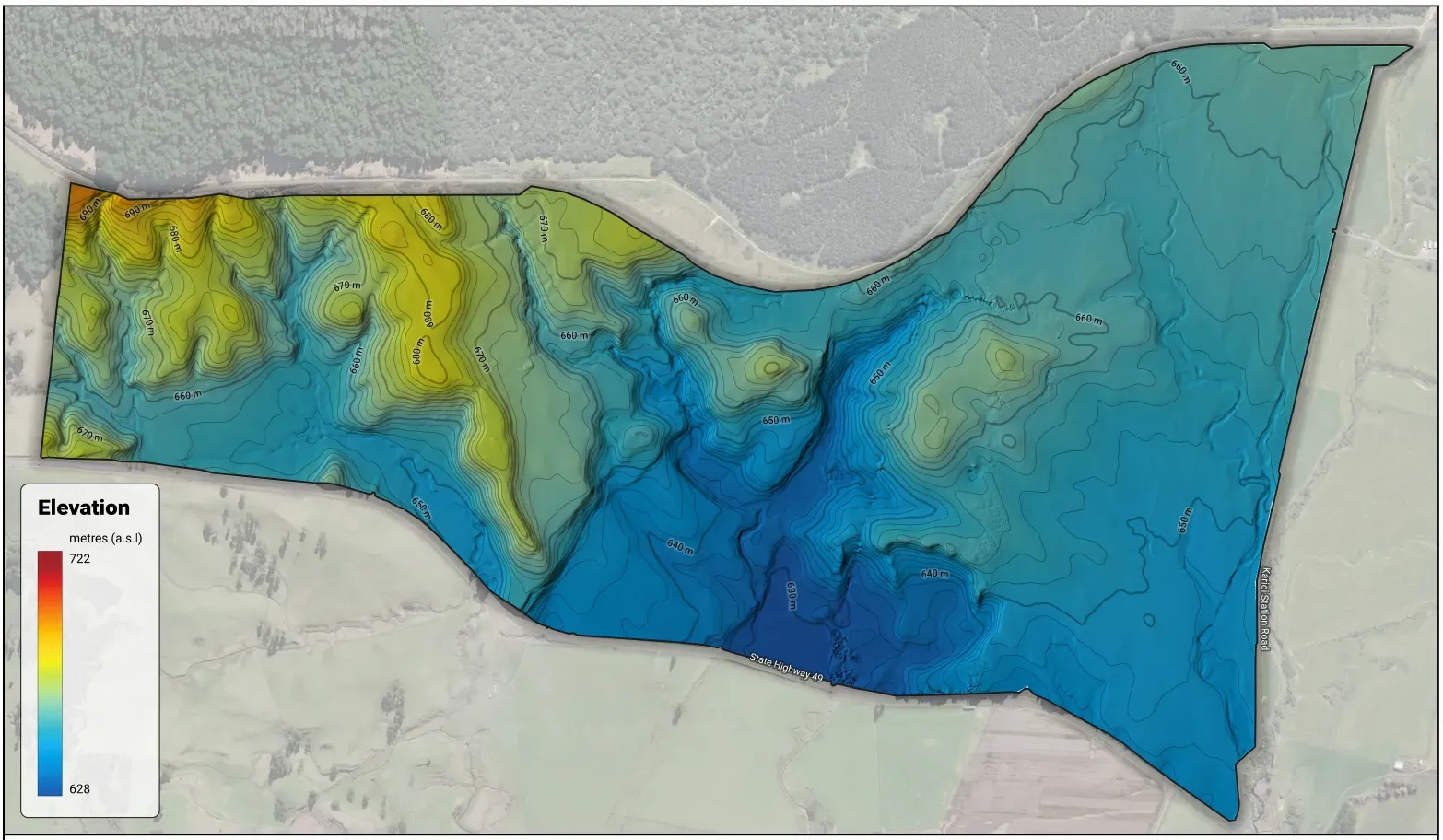
LUC & Soil Mapping
SOIL & LAND MAPPING
Farm-scale Land Use Capability (LUC), Land Resource Inventory (LRI) and soil mapping — at the right intensity for your farm or orchard plan.

Nutrient Management Plans
NUTRIENT MANAGEMENT
Certified, Overseer-based nutrient management plans for NZ farms. Soil tests to a paddock-by-paddock fertiliser plan that saves money, cuts N and P loss, and keeps you compliant.
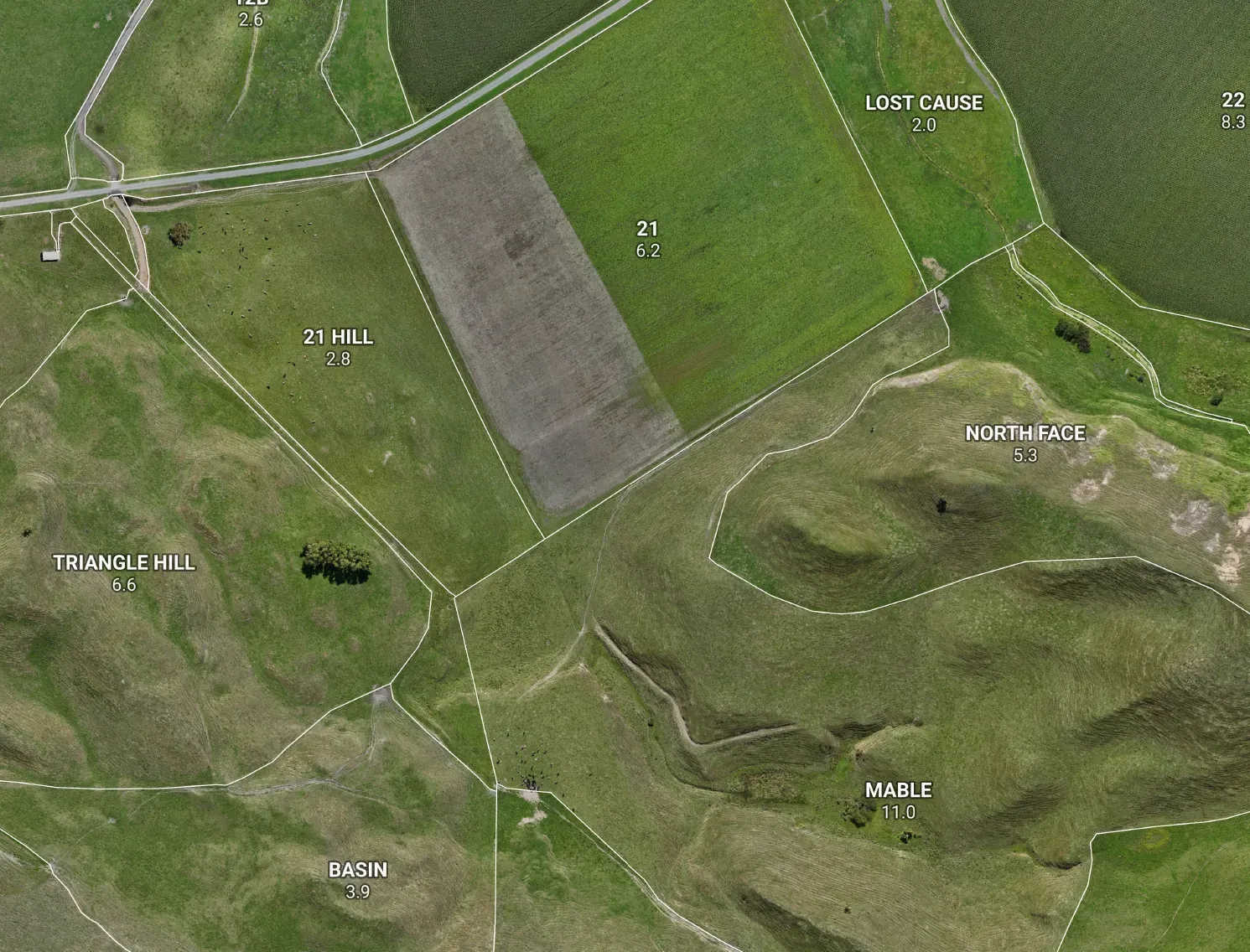
Whiteboard & Farm Maps
FARM MAPS
Clean, accurate farm maps you can hang on the wall or plan straight onto — printed wall maps, write-on whiteboard paddock maps, and a planning session to build them with you.
How We Work
A straightforward process built around your farm — from first call to certified plan delivered
Initial Consultation
We start with a conversation about your farm, your goals, and your regional council requirements — so we scope the right service for your situation.
On-Farm Assessment
We come to you. Our team carries out an on-site survey covering soils, land resources, waterways, and any other features required for your plan.
Mapping & Planning
We produce high-quality, farm-scale maps and draft your farm plan using GIS — accurate, detailed, and built to be useful well beyond their regulatory purpose.
Delivery & Certification
We deliver your completed maps and plan in all required formats, support council submission where needed, and remain available for any follow-up.
Compatible With Your Systems
Our maps and farm plans are built to work seamlessly with the software, platforms, and suppliers you already use — from fertiliser companies to compliance programmes and farm management tools.
- Outputs accepted by Ballance Agri-Nutrients & Ravensdown
- Compatible with Overseer nutrient budgeting software
- NZFAP+, B+LNZ and Fonterra compliance-ready map formats
- Delivered in QGIS, ESRI, PDF, and KML formats
 Ballance Agri-Nutrients
  Ravensdown
  Overseer
  DairyNZ
  Beef + Lamb NZ
  Fonterra
  LINZ
LINZ  Esri
Esri  Trimble
  MPI
MPI  Federated Farmers
  FMG
FMG  QGIS
QGIS  FarmIQ
  HawkEye
  Resolution
  VizLink